State Correctional Institution – Pittsburgh, Pittsburgh

Map
Facts and practical information
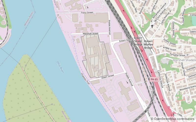
State Correctional Institution – Pittsburgh was a low-to-medium security correctional institution, operated by the Pennsylvania Department of Corrections, located about five miles west of Downtown Pittsburgh and within city limits. The facility is on the banks of the Ohio River, and is located on 21 acres of land. It was the first prison west of the Atlantic Plain as well as a major Civil War prison in 1863–1864. ()
Coordinates: 40°28'13"N, 80°2'28"W
Address
North Side (Marshall-Shadeland)Pittsburgh
ContactAdd
Social media
Add
Day trips
State Correctional Institution – Pittsburgh – popular in the area (distance from the attraction)
Nearby attractions include: Bicycle Heaven, Allegheny Observatory, Union Dale Cemetery, Riverview Park.
Frequently Asked Questions (FAQ)
Which popular attractions are close to State Correctional Institution – Pittsburgh?
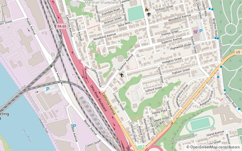
Nearby attractions include Marshall-Shadeland, Pittsburgh (11 min walk), Ohio Connecting Railroad Bridge, Pittsburgh (12 min walk), Brunot Island, Pittsburgh (14 min walk), Holy Ghost Byzantine Catholic Church, Pittsburgh (14 min walk).
How to get to State Correctional Institution – Pittsburgh by public transport?
The nearest stations to State Correctional Institution – Pittsburgh:
Bus
Bus
- Ohio River Blvd at McKees Rocks Bridge • Lines: 1 (16 min walk)


