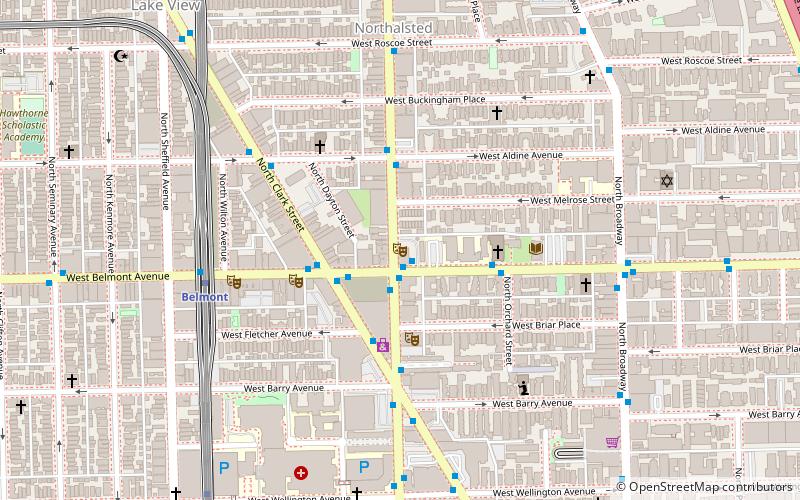
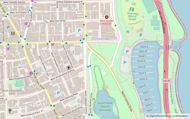
Sheffield Avenue, Chicago
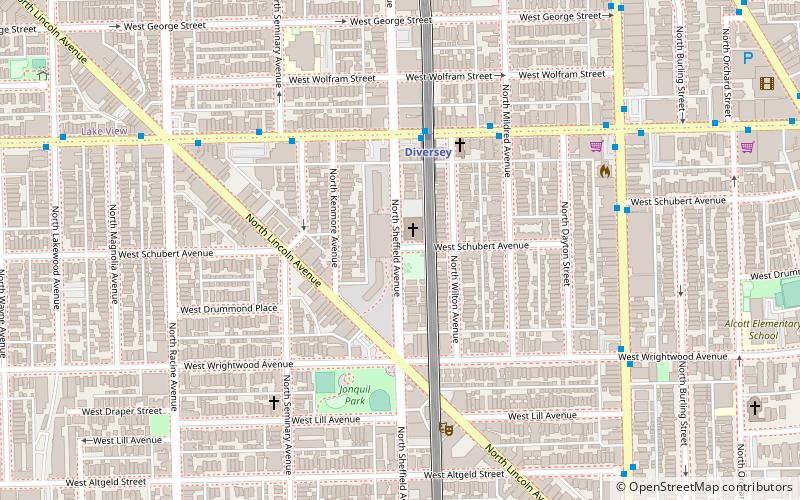
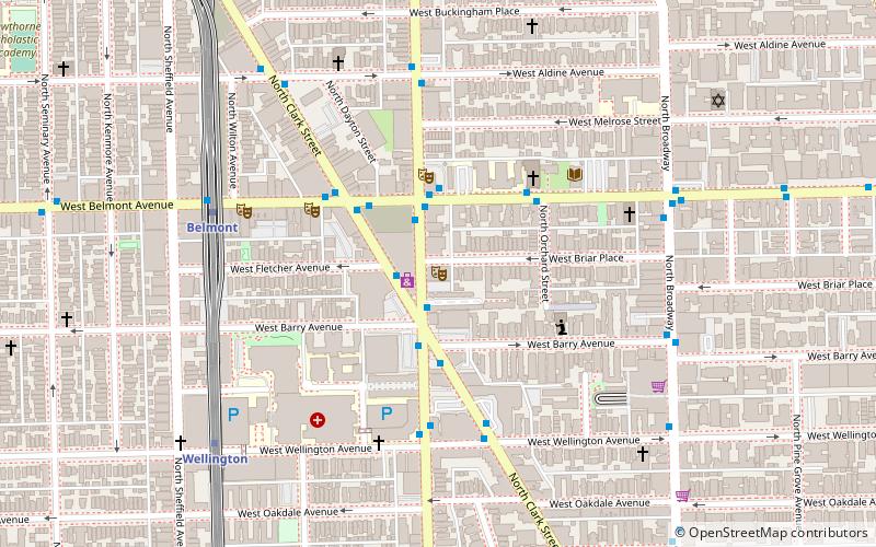
Map
Facts and practical information
Sheffield Avenue is a north–south street in Chicago, Illinois. It is best known to sports fans as being the street just beyond the right-field bleachers of Wrigley Field. ()
Coordinates: 41°55'51"N, 87°39'13"W
Address
North Side (Lincoln Park)Chicago
ContactAdd
Social media
Add
Getting there by public transportation
Public transportation stops near this location
- Metro
- Bus
- Train
 Metro
Metro
- Calculate routeDiversey Brown Line Station EB 4 min walk
- Calculate routeDiversey 4 min walk
- Calculate routeWellington 10 min walk
- Calculate routeFullerton 10 min walk
- Calculate routeBelmont 16 min walk
- Calculate routeClybourn 31 min walk
Maps Rail "L"
Rail "L"Day trips


Frequently Asked Questions (FAQ)
Which popular attractions are close to Sheffield Avenue?
Nearby attractions include Wiggly Field, Chicago (1 min walk), Apollo Theater Chicago, Chicago (6 min walk), Biograph Theater, Chicago (10 min walk), Lakeview Historic District, Chicago (10 min walk).
How to get to Sheffield Avenue by public transport?
The nearest stations to Sheffield Avenue:
Bus
Metro
Train
Bus
- Diversey Brown Line Station EB • Lines: 76 (4 min walk)
Metro
- Diversey • Lines: Brown, Purple (4 min walk)
- Wellington • Lines: Brown, Purple (10 min walk)
Train
- Clybourn (31 min walk)