Rainier Square Tower, Seattle
Map
Map

Facts and practical information
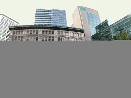
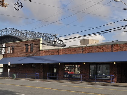
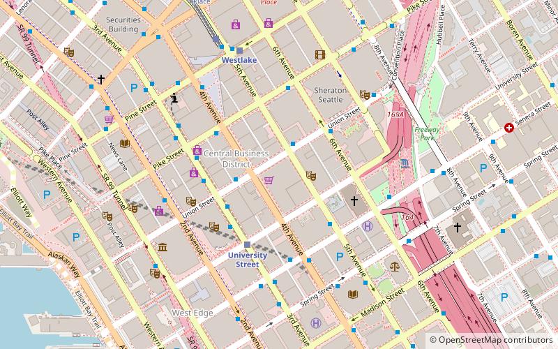
Rainier Square Tower is a mixed-use skyscraper in the Metropolitan Tract of downtown Seattle, Washington. The 850-foot tall, 58-story tower is located at Union Street between 4th and 5th Avenues adjacent to the existing Rainier Tower; it is the second-tallest building in Seattle. The $600 million project was completed in 2021, and is the tallest building constructed in the city since the construction of the Columbia Center in 1985. ()
Coordinates: 47°36'33"N, 122°20'6"W
Address
Downtown Seattle (Seattle Central Business District)Seattle
ContactAdd
Social media
Add
Day trips
Rainier Square Tower – popular in the area (distance from the attraction)
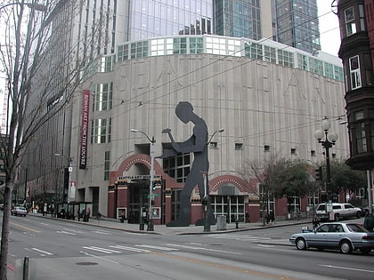
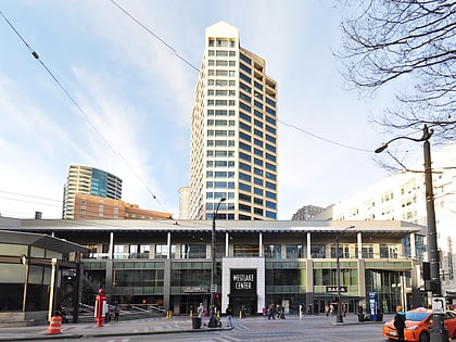
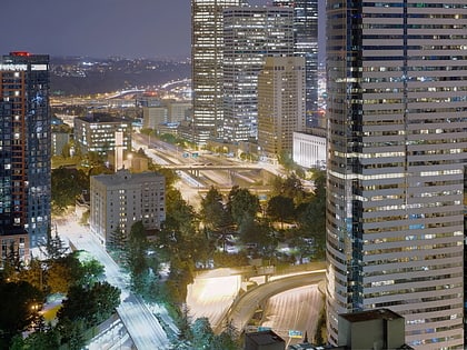
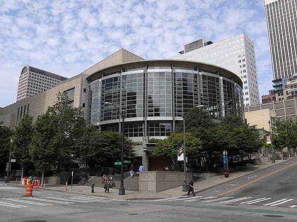
Nearby attractions include: Seattle Art Museum, Westlake Center, Freeway Park, Westlake Park.
Frequently Asked Questions (FAQ)
Which popular attractions are close to Rainier Square Tower?
Nearby attractions include 5th Avenue Theatre, Seattle (2 min walk), Washington Athletic Club, Seattle (2 min walk), Liggett Building, Seattle (3 min walk), Downtown Seattle, Seattle (3 min walk).
How to get to Rainier Square Tower by public transport?
The nearest stations to Rainier Square Tower:
Bus
Light rail
Trolleybus
Train
Tram
Ferry
Bus
- 4th Ave & Union St • Lines: 101, 102, 150, 301, 550 (2 min walk)
- Union St & 5th Ave • Lines: 101, 102, 150, 550 (2 min walk)
Light rail
- University Street • Lines: 1 (3 min walk)
- Westlake • Lines: 1 (5 min walk)
Trolleybus
- 3rd Ave & Seneca St • Lines: 1, 13, 3, 4, 49 (5 min walk)
- 3rd Ave & Virginia St • Lines: 1, 13, 2, 3, 4 (10 min walk)
Train
- Westlake Center (6 min walk)
- Seattle King Street (22 min walk)
Tram
- Pacific Place • Lines: South Lake Union Streetcar (8 min walk)
- Westlake & Denny • Lines: South Lake Union Streetcar (17 min walk)
Ferry
- Seattle Waterfront • Lines: Seattle-Blake Island (11 min walk)
- Seattle • Lines: Seattle-Bremerton, Seattle-Winslow (14 min walk)

