400 Lake Shore Drive, Chicago
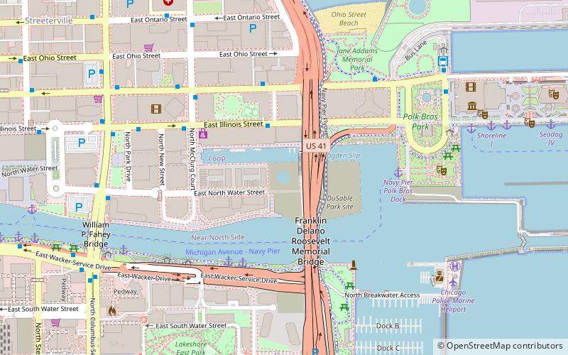
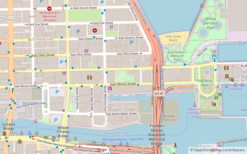
Map
Facts and practical information
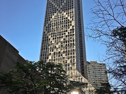
400 Lake Shore Drive is a 875-foot approved high-rise development in the Streeterville area of Chicago. The project, located at the previous site of the defunct Chicago Spire development, features two connected towers; the design calls for a height of 875 feet for the northern tower, and 765 feet for the southern tower. ()
Coordinates: 41°53'24"N, 87°36'54"W
Address
Downtown (Near North Side)Chicago
ContactAdd
Social media
Add
Day trips
400 Lake Shore Drive – popular in the area (distance from the attraction)
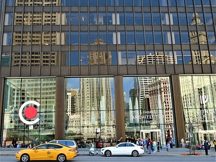
Nearby attractions include: Architecture Center, Chicago Children's Museum, Chicago Riverwalk, One Bennett Park.
Frequently Asked Questions (FAQ)
Which popular attractions are close to 400 Lake Shore Drive?
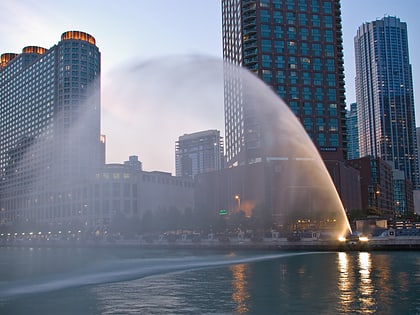
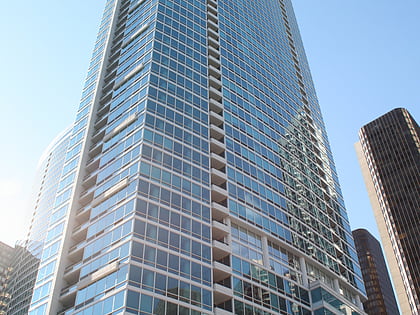
Nearby attractions include Gateway Tower, Chicago (1 min walk), North Pier Apartments, Chicago (2 min walk), DuSable Park, Chicago (3 min walk), Outer Drive Bridge, Chicago (3 min walk).
How to get to 400 Lake Shore Drive by public transport?
The nearest stations to 400 Lake Shore Drive:
Bus
Train
Metro
Bus
- Illinois & Peshtigo • Lines: 124, 2, 29, 65, 66 (3 min walk)
- Grand & Peshtigo • Lines: 124, 2, 29, 65, 66 (4 min walk)
Train
- Millennium Station (15 min walk)
- Van Buren Street (26 min walk)
Metro
- Grand • Lines: Red (18 min walk)
- State/Lake • Lines: Brown, Green, Orange, Pink, Purple (19 min walk)
 Rail "L"