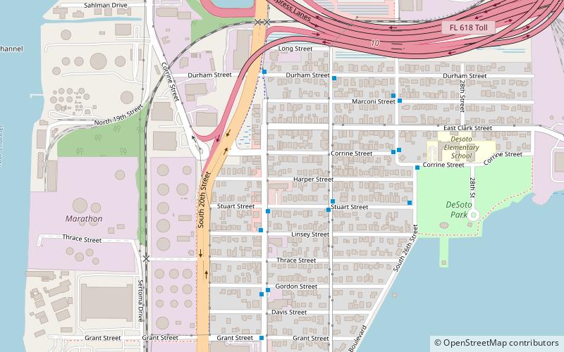
Palmetto Beach, Tampa

Map
Facts and practical information
Palmetto Beach is a neighborhood within the city limits of Tampa, Florida. As of the 2000 census the neighborhood had a population of 2,046. The ZIP Codes serving the neighborhood are 33605 and 33619. The neighborhood is located just south of the historic Ybor City. ()
Coordinates: 27°56'53"N, 82°26'3"W
Address
Northeast Tampa (Palmetto Beach)Tampa
ContactAdd
Social media
Add
Day trips
Palmetto Beach – popular in the area (distance from the attraction)
Nearby attractions include: Florida Aquarium, Amalie Arena, Tampa Bay History Center, The RITZ Ybor.
Frequently Asked Questions (FAQ)
Which popular attractions are close to Palmetto Beach?
Nearby attractions include Palmetto Beach Historic District, Tampa (5 min walk), SS American Victory, Tampa (17 min walk), Port Tampa Bay, Tampa (18 min walk), Florida Aquarium, Tampa (19 min walk).
How to get to Palmetto Beach by public transport?
The nearest stations to Palmetto Beach:
Tram
Ferry
Bus
Train
Tram
- York Street • Lines: Teco (18 min walk)
- Cumberland Avenue • Lines: Teco (19 min walk)
Ferry
- Tampa Ferry Terminal • Lines: Cross-Bay Ferry (19 min walk)
Bus
- Channelside Drive @ Harbor Street • Lines: 8 (21 min walk)
- 7th Avenue @ 21st Street • Lines: 8 (22 min walk)
Train
- Tampa (28 min walk)


