Robles Park, Tampa
Map
Facts and practical information
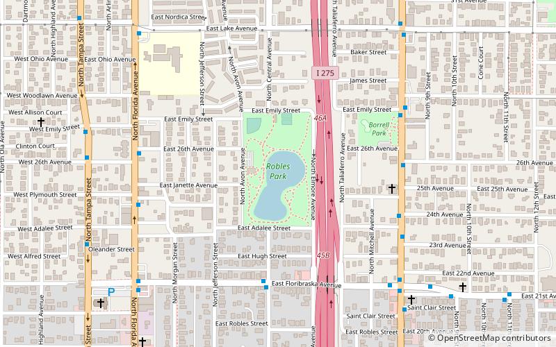
Robles Park is a neighborhood within the district of Tampa Heights, which represents District 5 of the Tampa City Council. Demographically, the neighborhood did not report separately. Robles Park is located at latitude 27.974 north and longitude 82.453 west. The elevation is 36 feet above sea level. The small neighborhood straddles between Florida and Nebraska Avenues and is mostly made up of a public housing complex known as Robles Park Village. It also contains a park and a collection of small single family home surrounding the public housing ()
Coordinates: 27°58'26"N, 82°27'18"W
Address
Northeast Tampa (Tampa Heights)Tampa
ContactAdd
Social media
Add
Getting there by public transportation
Public transportation stops near this location
- Bus
- Tram
 Bus
Bus
- Calculate routeFloribraska Av @ Central Av 6 min walk
- Calculate routeNebraska Avenue @ 26th Avenue 7 min walk
- Calculate routeCadrecha Plaza 28 min walk
- Calculate routeStreetcar Society 30 min walk
- Calculate routeCentro Ybor 32 min walk
- Calculate routeCentennial Park 36 min walk
Day trips


Frequently Asked Questions (FAQ)
Which popular attractions are close to Robles Park?
Nearby attractions include Tampa Heights, Tampa (11 min walk), St. James House of Prayer Episcopal Church, Tampa (12 min walk), V.M. Ybor, Tampa (14 min walk), Old People's Home, Tampa (15 min walk).
How to get to Robles Park by public transport?
The nearest stations to Robles Park:
Bus
Tram
Bus
- Floribraska Av @ Central Av • Lines: 6 (6 min walk)
- Nebraska Avenue @ 26th Avenue • Lines: MetroRapid (7 min walk)
Tram
- Cadrecha Plaza • Lines: Teco (28 min walk)
- Streetcar Society • Lines: Teco (30 min walk)