Birdland, San Diego
Map

Map

Facts and practical information
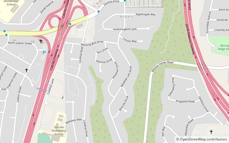
Birdland is a neighborhood in San Diego, California. It is located between California State Route 163, Interstate 805 and Mission Valley. Most of the streets in the area are named after different bird species, hence the name of the community. ()
Coordinates: 32°47'20"N, 117°9'18"W
Address
Eastern San Diego (Birdland)San Diego
ContactAdd
Social media
Add
Day trips
Birdland – popular in the area (distance from the attraction)
Nearby attractions include: San Diego Stadium, Fashion Valley, University of San Diego, Westfield Mission Valley.
Frequently Asked Questions (FAQ)
How to get to Birdland by public transport?
The nearest stations to Birdland:
Bus
Light rail
Bus
- Health Center Drive and Frost Street • Lines: 120 (20 min walk)
Light rail
- Rio Vista • Lines: 530 (34 min walk)


