Libra Triangle, New York City
Map

Map

Facts and practical information
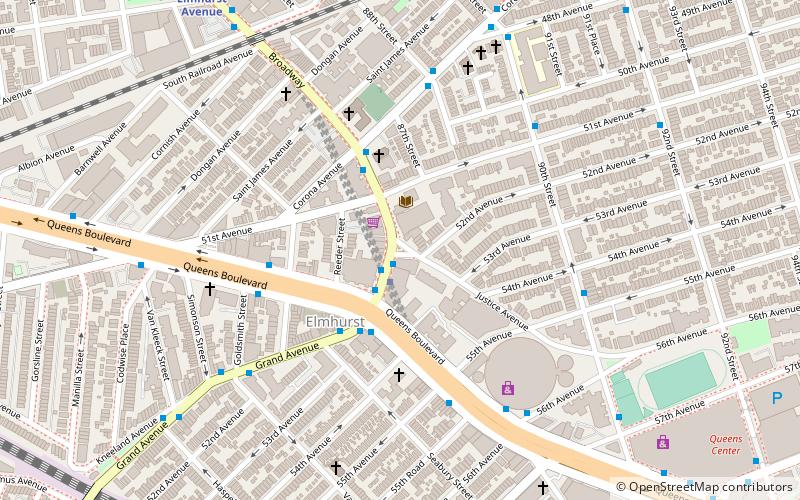
Libra Triangle is a 0.028 acres public green space located in the neighborhood of Elmhurst in Queens, New York, at the intersection of Broadway and Justice Avenue. Prior to its consolidation with New York City in 1898, Elmhurst was known as the town of Newtown. Its center of local government was at the site of this traffic triangle. ()
Elevation: 23 ft a.s.l.Coordinates: 40°44'16"N, 73°52'37"W
Address
Northwestern Queens (Elmhurst)New York City
ContactAdd
Social media
Add
Day trips
Libra Triangle – popular in the area (distance from the attraction)
Nearby attractions include: Queens Center, Rego Center, Queens Place Mall, Rego Park Jewish Center.
Frequently Asked Questions (FAQ)
Which popular attractions are close to Libra Triangle?
Nearby attractions include Reformed Church of Newtown, New York City (3 min walk), First Presbyterian Church of Newtown, New York City (4 min walk), Queens Boulevard, New York City (5 min walk), Chinatowns in Queens, New York City (9 min walk).
How to get to Libra Triangle by public transport?
The nearest stations to Libra Triangle:
Bus
Metro
Bus
- Broadway & Justice Avenue • Lines: Q58 (1 min walk)
- Grand Avenue & Queens Boulevard • Lines: Q58 (3 min walk)
Metro
- Grand Avenue–Newtown • Lines: E, M, R (1 min walk)
- Elmhurst Avenue • Lines: E, M, R (11 min walk)

 Subway
 Manhattan Buses


