Juniper Valley Park, New York City
Map

Gallery

Facts and practical information
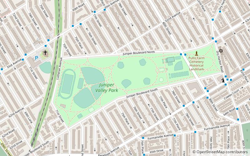
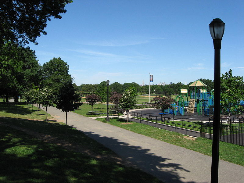
Juniper Valley Park is a 55.247-acre public park located within Middle Village, Queens, New York, United States. The park is bordered by Juniper Boulevard North on the north, Juniper Boulevard South on the south, Lutheran Avenue on the west, and Dry Harbor Road on the east; it is split into two parts by 80th Street. ()
Elevation: 98 ft a.s.l.Coordinates: 40°43'13"N, 73°52'49"W
Day trips
Juniper Valley Park – popular in the area (distance from the attraction)
Nearby attractions include: Queens Center, The Shops at Atlas Park, Rego Center, All Faiths Cemetery.
Frequently Asked Questions (FAQ)
Which popular attractions are close to Juniper Valley Park?
Nearby attractions include Middle Village, New York City (7 min walk), All Faiths Cemetery, New York City (18 min walk), Queens Vietnam Veterans Memorial, New York City (20 min walk), St. Adalbert Roman Catholic Church, New York City (22 min walk).
How to get to Juniper Valley Park by public transport?
The nearest stations to Juniper Valley Park:
Metro
Bus
Metro
- Middle Village–Metropolitan Avenue • Lines: M (19 min walk)
- Woodhaven Boulevard • Lines: E, M, R (27 min walk)
Bus
- Grand Avenue & 74th Street • Lines: Q58 (21 min walk)

 Subway
 Manhattan Buses


