Queens Boulevard, New York City
Map

Gallery

Facts and practical information
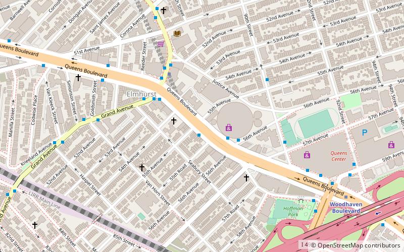
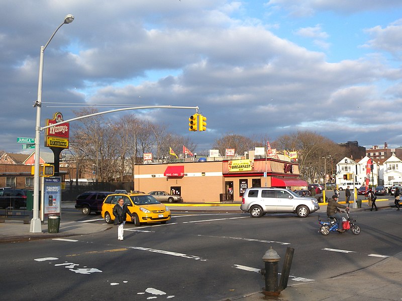
Queens Boulevard is a major thoroughfare in the New York City borough of Queens connecting Midtown Manhattan, via the Queensboro Bridge, to Jamaica. It is 7.5 miles long and forms part of New York State Route 25. ()
Address
Northwestern Queens (Elmhurst)New York City
ContactAdd
Social media
Add
Day trips
Queens Boulevard – popular in the area (distance from the attraction)
Nearby attractions include: Queens Center, Rego Center, Queens Place Mall, Rego Park Jewish Center.
Frequently Asked Questions (FAQ)
Which popular attractions are close to Queens Boulevard?
Nearby attractions include First Presbyterian Church of Newtown, New York City (2 min walk), Libra Triangle, New York City (5 min walk), Reformed Church of Newtown, New York City (7 min walk), Elmhurst Sculpture Garden, New York City (11 min walk).
How to get to Queens Boulevard by public transport?
The nearest stations to Queens Boulevard:
Bus
Metro
Bus
- Grand Avenue & Queens Boulevard • Lines: Q58 (4 min walk)
- Broadway & Justice Avenue • Lines: Q58 (4 min walk)
Metro
- Grand Avenue–Newtown • Lines: E, M, R (4 min walk)
- Woodhaven Boulevard • Lines: E, M, R (9 min walk)

 Subway
 Manhattan Buses


