Shadeland, Lexington

Map
Facts and practical information
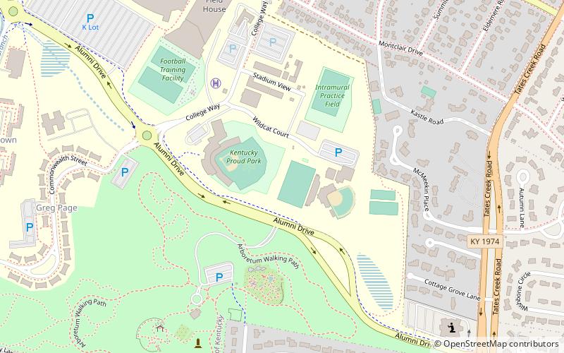
Shadeland is a neighborhood in southeastern Lexington, Kentucky, United States. Its boundaries are the University of Kentucky Arboretum to the north and west, Glendover Road to the south, and Tates Creek Road to the east. ()
Coordinates: 38°0'43"N, 84°29'56"W
Address
Shadeland CommunityLexington
ContactAdd
Social media
Add
Day trips
Shadeland – popular in the area (distance from the attraction)
Nearby attractions include: Cliff Hagan Stadium, Ashland, Cathedral of Christ the King, Zandale.
Frequently Asked Questions (FAQ)
Which popular attractions are close to Shadeland?
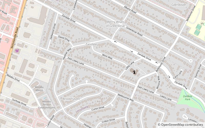
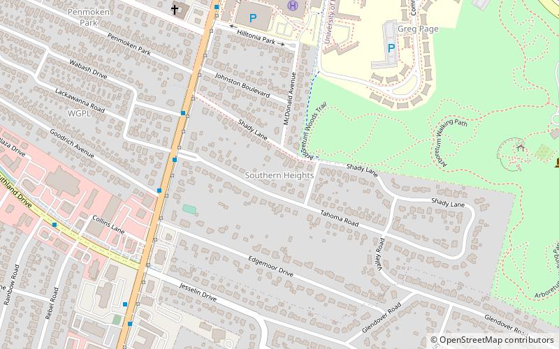
Nearby attractions include Southern Heights, Lexington (19 min walk), Zandale, Lexington (22 min walk).
How to get to Shadeland by public transport?
The nearest stations to Shadeland:
Bus
Bus
- 1385 - Nicholasville @ Tahoma Inbound • Lines: 16 Southland Dr, 5 Nicholasville Road (24 min walk)
- 1370 - Nicholasville @ Wabash Outbound • Lines: 16 Southland Dr, 5, 5 Nicholasville Road (24 min walk)


