Mutter Gottes Historic District, Covington
Map
Map

Facts and practical information
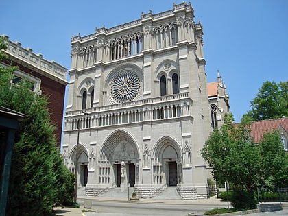
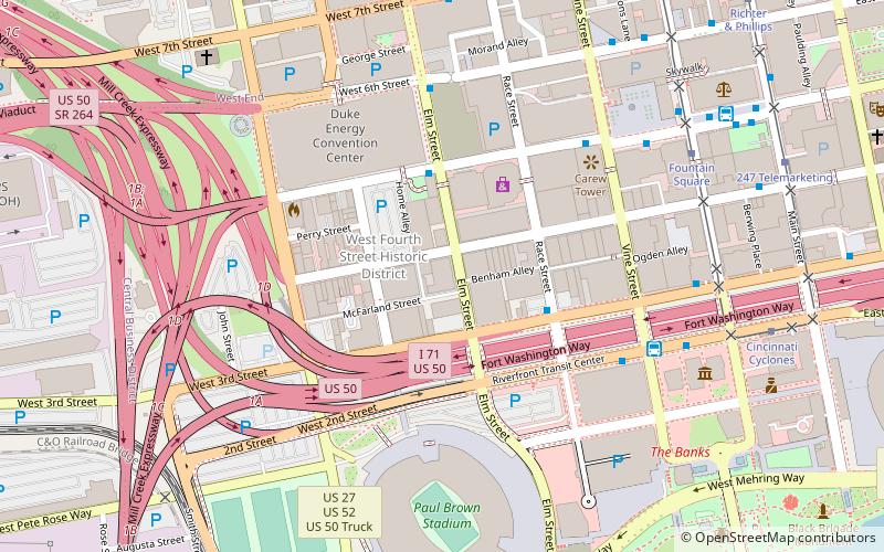
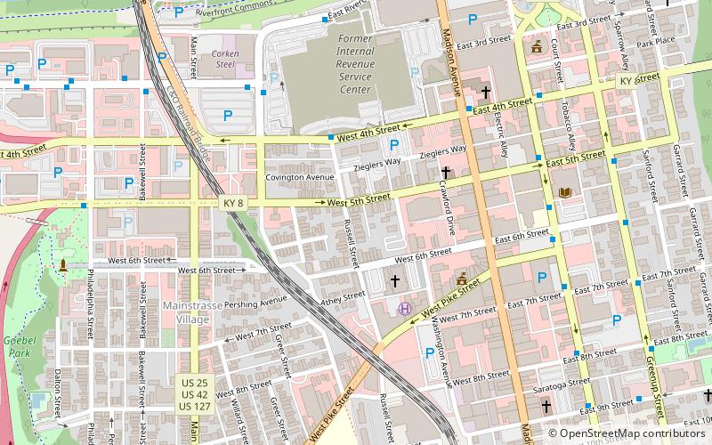
The Mutter Gottes Historic District or Mother of God Historic District is a 15 acres area in Covington, Kentucky including the Mother of God Church which was listed on the National Register of Historic Places in 1980. The historic district included 153 buildings. ()
Coordinates: 39°5'6"N, 84°30'49"W
Address
Covington (Old Town-Mutter Gottes)Covington
ContactAdd
Social media
Add
Day trips
Mutter Gottes Historic District – popular in the area (distance from the attraction)
Nearby attractions include: National Underground Railroad Freedom Center, Great American Ball Park, Paul Brown Stadium, Heritage Bank Center.
Frequently Asked Questions (FAQ)
Which popular attractions are close to Mutter Gottes Historic District?
Nearby attractions include Mother of God Roman Catholic Church, Covington (3 min walk), Mainstrasse Village, Covington (6 min walk), Trinity Episcopal Church, Covington (7 min walk), Gateway Community and Technical College, Covington (7 min walk).
How to get to Mutter Gottes Historic District by public transport?
The nearest stations to Mutter Gottes Historic District:
Bus
Tram
Bus
- Madison & 4th • Lines: 12, 16, 25, 2X, 3, 5, 9 (6 min walk)
- Third & Johnson • Lines: 1, 12, 16, 25, 2X, 3, 33, 5, 9 (6 min walk)
Tram
- Cincinnati Cyclones • Lines: 100 (24 min walk)
- Fountain Square • Lines: 100 (29 min walk)


