Gardiner Lane, Louisville
Map
Facts and practical information
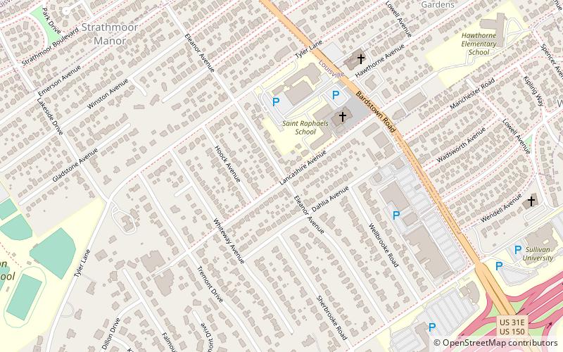
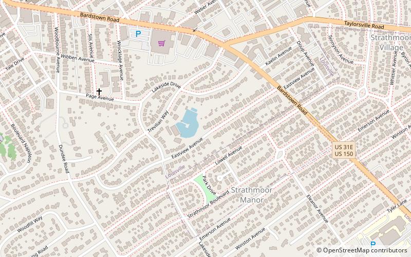
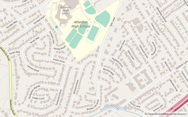
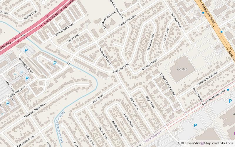
Gardiner Lane is a neighborhood in eastern Louisville, Kentucky, United States. Its boundaries are Emerson Avenue to the north, Bardstown Road to the east, I-264 to the south, and Tremont Drive to the west. As with surrounding neighborhoods, it was farmland well into the first half of the 1900s. 16 subdivisions were developed from 1913 to 1950. ()
Coordinates: 38°12'53"N, 85°40'42"W
Address
Upper Highlands (Gardiner Lane)Louisville
ContactAdd
Social media
Add
Getting there by public transportation
Public transportation stops near this location
- Bus
 Bus
Bus
- Calculate routeElanor / Woodbourne 24 min walk
- Calculate routeWoodbourne / Carolina 25 min walk
Day trips


Frequently Asked Questions (FAQ)
Which popular attractions are close to Gardiner Lane?
Nearby attractions include Hayfield Dundee, Louisville (14 min walk), Belknap, Louisville (14 min walk), Farmington, Louisville (15 min walk), Keneseth Israel, Louisville (18 min walk).
How to get to Gardiner Lane by public transport?
The nearest stations to Gardiner Lane:
Bus
Bus
- Elanor / Woodbourne • Lines: 29East Oxmoor, 29West Oxmoor (24 min walk)
- Woodbourne / Carolina • Lines: 29East Oxmoor, 29West Oxmoor (25 min walk)