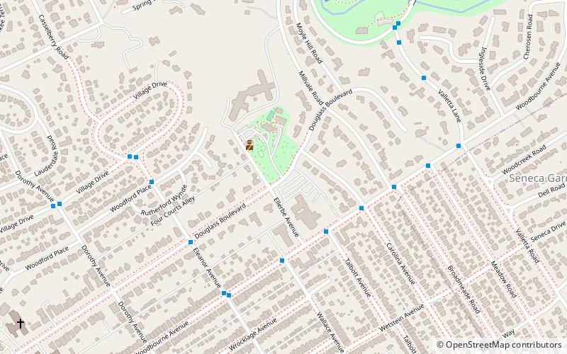
Highlands–Douglass, Louisville
Map
Facts and practical information
Highlands–Douglass is a neighborhood five miles southeast of downtown Louisville, Kentucky, United States. The neighborhood is bound by Bardstown Road, Speed Avenue, Taylorsville Road, and Cherokee Park. It is considered a part of a larger area of Louisville called The Highlands. It is often simply called Douglass. ()
Area: 0.64 mi²Coordinates: 38°13'44"N, 85°41'8"W
Address
The Highlands (Highlands Douglass)Louisville
ContactAdd
Social media
Add
Getting there by public transportation
Public transportation stops near this location
- Bus
 Bus
Bus
- Calculate routeWoodbourne / Talbot 3 min walk
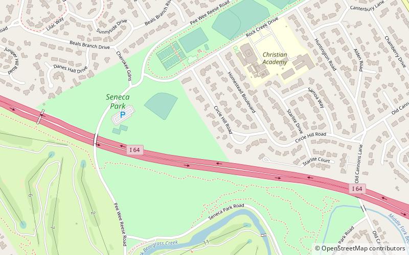
Day trips


Frequently Asked Questions (FAQ)
Which popular attractions are close to Highlands–Douglass?
Nearby attractions include Cherokee-Seneca, Louisville (16 min walk), Belknap, Louisville (16 min walk), Keneseth Israel, Louisville (18 min walk), Rose Hill, Louisville (18 min walk).
How to get to Highlands–Douglass by public transport?
The nearest stations to Highlands–Douglass:
Bus
Bus
- Woodbourne / Talbot • Lines: 29East Oxmoor, 29West Oxmoor (3 min walk)