Belknap, Louisville
Map
Facts and practical information
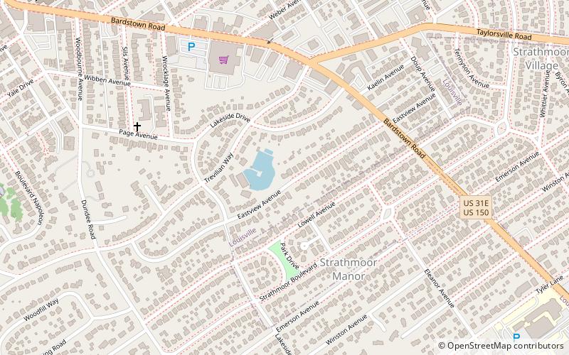
Belknap is an urban neighborhood three and a half miles east of downtown Louisville, Kentucky, USA. The neighborhood is bound by Bardstown Road, Douglass Boulevard, Dundee Road and Newburg Road. It is part of a larger area of Louisville called the Highlands. Belknap is often described as the neighborhood in the heart of The Highlands. ()
Coordinates: 38°13'13"N, 85°41'8"W
Address
The Highlands (Belknap)Louisville
ContactAdd
Social media
Add
Getting there by public transportation
Public transportation stops near this location
- Bus
 Bus
Bus
- Calculate routeElanor / Woodbourne 11 min walk
- Calculate routeWoodbourne / Talbot 14 min walk
Day trips


Frequently Asked Questions (FAQ)
Which popular attractions are close to Belknap?
Nearby attractions include Gardiner Lane, Louisville (14 min walk), Highlands–Douglass, Louisville (16 min walk), Keneseth Israel, Louisville (17 min walk), Hayfield Dundee, Louisville (19 min walk).
How to get to Belknap by public transport?
The nearest stations to Belknap:
Bus
Bus
- Elanor / Woodbourne • Lines: 29East Oxmoor, 29West Oxmoor (11 min walk)
- Woodbourne / Talbot • Lines: 29East Oxmoor, 29West Oxmoor (14 min walk)