Randle Highlands, Suitland
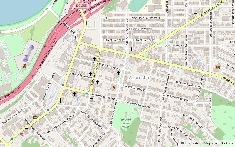
Map
Map

Facts and practical information
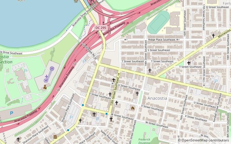
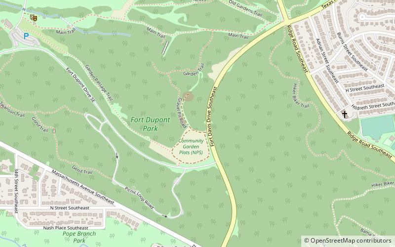
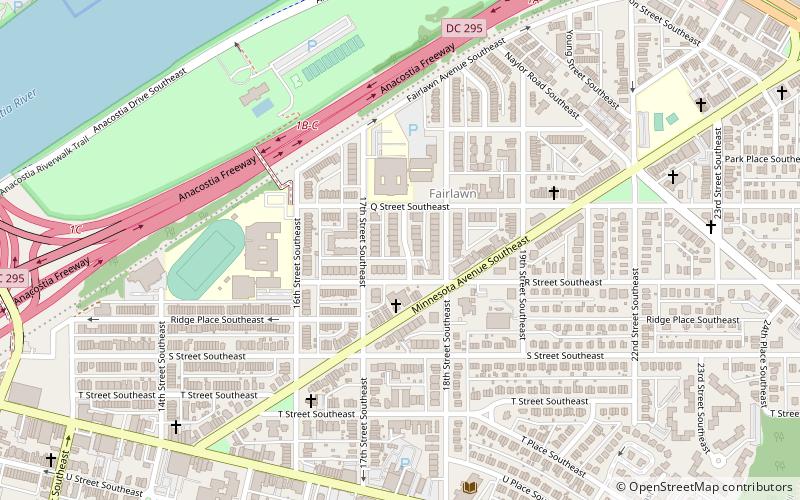
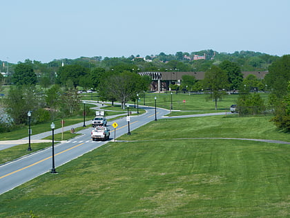
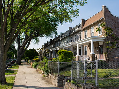
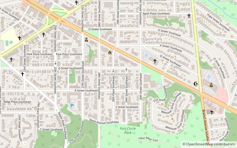
Randle Highlands is a neighborhood in Southeast Washington, D.C., east of the Anacostia River. ()
Coordinates: 38°52'13"N, 76°57'59"W
Address
Southeast Washington (Anacostia)Suitland
ContactAdd
Social media
Add
Day trips
Randle Highlands – popular in the area (distance from the attraction)
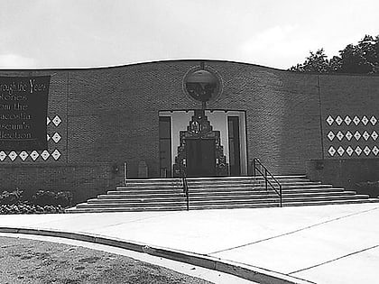
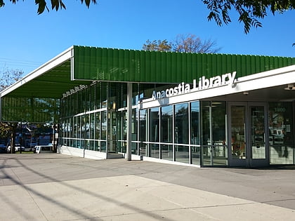
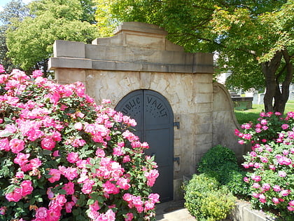
Nearby attractions include: Anacostia Community Museum, Anacostia Arts Center, Anacostia Neighborhood Library, Public Vault at the Congressional Cemetery.
Frequently Asked Questions (FAQ)
Which popular attractions are close to Randle Highlands?
Nearby attractions include Twining, Suitland (2 min walk), Dupont Park, Suitland (5 min walk), Engine Company 19, Suitland (6 min walk), Park Naylor, Suitland (12 min walk).
How to get to Randle Highlands by public transport?
The nearest stations to Randle Highlands:
Metro
Metro
- Potomac Avenue • Lines: Bl, Or, Sv (33 min walk)
- Stadium–Armory • Lines: Bl, Or, Sv (33 min walk)

