Fort Dupont Park, Washington D.C.
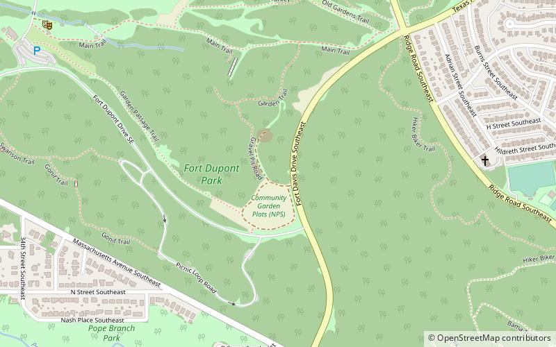
Map
Facts and practical information
Fort Dupont Park is a 376-acre wooded park under the management of the National Park Service located in Washington, DC. The name of the park comes from the old Civil War earthwork fort that lies within the park. The fort was one of several designed to defend Washington from a Confederate attack during the Civil War. There are few remains of the actual fortifications. ()
Area: 0.59 mi²Elevation: 151 ft a.s.l.Coordinates: 38°52'39"N, 76°56'59"W
Address
Southeast Washington (Fort Dupont)Washington D.C.
ContactAdd
Social media
Add
Day trips
Fort Dupont Park – popular in the area (distance from the attraction)
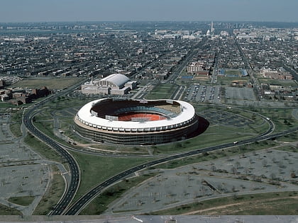
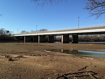
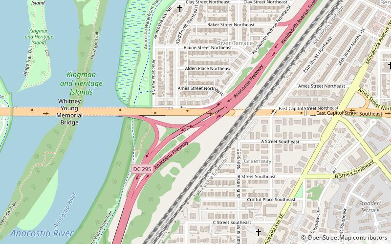
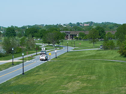
Nearby attractions include: RFK Stadium, Whitney Young Memorial Bridge, District of Columbia Route 295, Francis A. Gregory Neighborhood Library.
Frequently Asked Questions (FAQ)
Which popular attractions are close to Fort Dupont Park?
Nearby attractions include Penn Branch, Washington D.C. (13 min walk), Fort Davis Park, Washington D.C. (16 min walk), Benning Ridge, Washington D.C. (17 min walk), Benning Terrace, Washington D.C. (18 min walk).
How to get to Fort Dupont Park by public transport?
The nearest stations to Fort Dupont Park:
Metro
Metro
- Benning Road • Lines: Bl, Sv (29 min walk)
