Trenton Ferry Historic District, Trenton

Gallery (1)
Map
Map
Facts and practical information
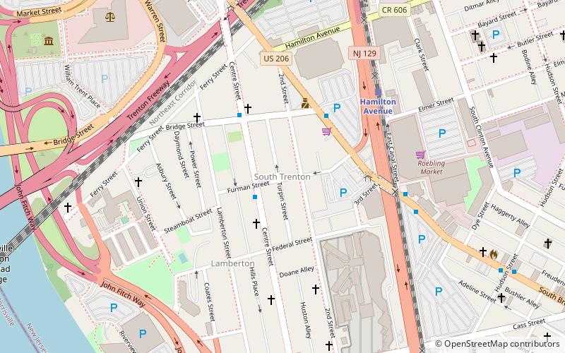
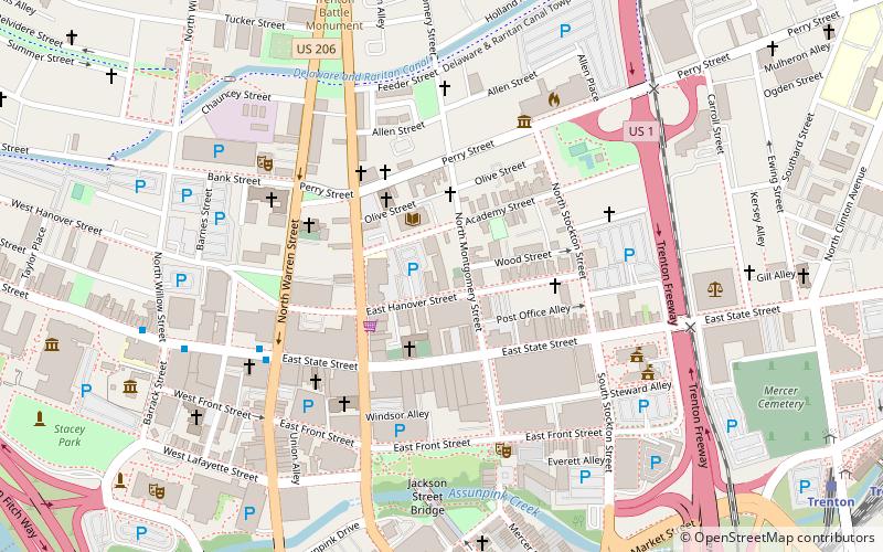
The Trenton Ferry Historic District is a historic mixed-use urban working class neighborhood primarily composed of modest row houses, schools, churches, and commercial buildings. The neighborhood has roots in the 18th century but the majority of its fabric dates to the 19th and early 20th centuries. The district has few modern intrusions and has retained its historic character. The district was added to the National Register of Historic Places on June 26, 2013. It includes 581 contributing buildings and three contributing sites. ()
Coordinates: 40°12'36"N, 74°45'31"W
Address
South TrentonTrenton
ContactAdd
Social media
Add
Getting there by public transportation
Public transportation stops near this location
- Light rail
- Train
 Light rail
- Calculate routeHamilton Avenue 6 min walk
- Calculate routeCass Street 10 min walk
- Calculate routeTrenton 16 min walk
- Calculate routeTrenton 17 min walk
Day trips


Frequently Asked Questions (FAQ)
Which popular attractions are close to Trenton Ferry Historic District?
Nearby attractions include Sun National Bank Center, Trenton (6 min walk), In and Out Social Club, Trenton (10 min walk), William Trent House, Trenton (11 min walk), Lower Trenton Bridge, Trenton (12 min walk).
How to get to Trenton Ferry Historic District by public transport?
The nearest stations to Trenton Ferry Historic District:
Light rail
Train
Light rail
- Hamilton Avenue • Lines: River Line (6 min walk)
- Cass Street • Lines: River Line (10 min walk)
Train
- Trenton (17 min walk)