Trek Zone

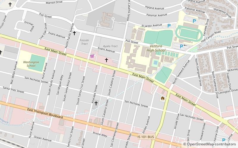
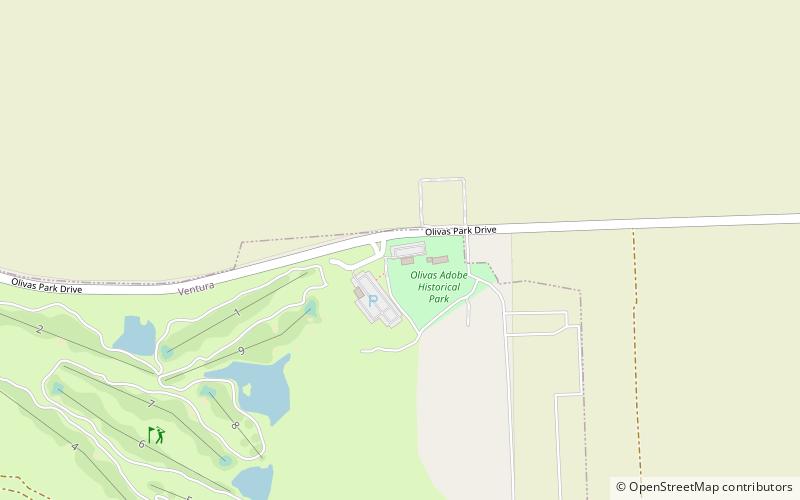
City of Ventura Historic Landmarks and Districts, Ventura County

#12 among attractions in Ventura County

Sightseeing
City of Ventura Historic Landmarks and Districts location map
Map

Facts and practical information

Coordinates: 34°14'38"N, 119°14'36"W
Address

OlivasVentura County United States

ContactAdd
Social media
Add
Day trips

City of Ventura Historic Landmarks and Districts – popular in the area (distance from the attraction)

Nearby attractions include: Century RiverPark 16, Pacific View Mall, Serra Cross, Ventura Botanical Gardens.

  • century riverpark 16 oxnard3.9 miE
  • pacific view mall ventura county1.7 miN
  • serra cross ventura county4 miNW
  • ventura botanical gardens ventura county3.8 miNW
  • olivas adobe ventura county~100 ftE
  • seaside park ventura county4 miNW
  • san buenaventura state beach ventura county2.8 miNW
  • dudley house ventura county2.2 miN
  • ventura ventura county3.3 miNW
  • ventura pier ventura county3.5 miNW
  • baxter art gallery ventura county location map
    2.7 miNW

Where to next? Visit california California region page or discover the top tourist attractions in United States.