South Bluffs, Memphis
Map

Map

Facts and practical information
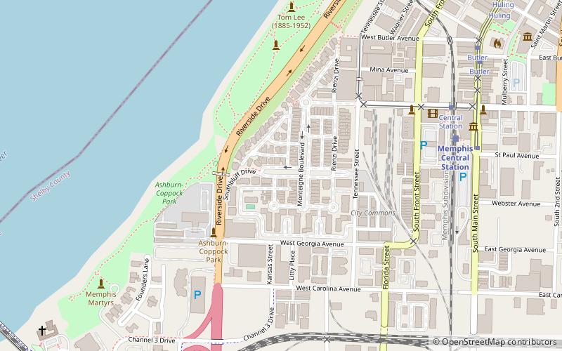
South Bluffs is a gated neighborhood located south of Downtown Memphis, Tennessee. The bluff was previously occupied by a 25-acre railroad and switching yard, until 1989 when ground was broken on developing a residential neighborhood. The location of the neighborhood and the views of the Mississippi River have drawn Memphians, such as Pat Halloran and Henry Turley, to purchase homes within the neighborhood. ()
Coordinates: 35°7'52"N, 90°3'54"W
Address
Downtown Memphis (South Main)Memphis
ContactAdd
Social media
Add
Day trips
South Bluffs – popular in the area (distance from the attraction)
Nearby attractions include: FedExForum, National Civil Rights Museum, AutoZone Park, Beale Street.
Frequently Asked Questions (FAQ)
Which popular attractions are close to South Bluffs?
Nearby attractions include Tom Lee Park, Memphis (8 min walk), Memphis Railroad and Trolley Museum, Memphis (9 min walk), South Main Arts District, Memphis (10 min walk), Blues Hall of Fame, Memphis (12 min walk).
How to get to South Bluffs by public transport?
The nearest stations to South Bluffs:
Train
Tram
Train
- Memphis Central Station (8 min walk)
Tram
- Central Station • Lines: MATA Trolley Main Street Line, MATA Trolley Riverfront Loop (9 min walk)
- Butler • Lines: MATA Trolley Main Street Line, MATA Trolley Riverfront Loop (11 min walk)


