Starlight Park, New York City
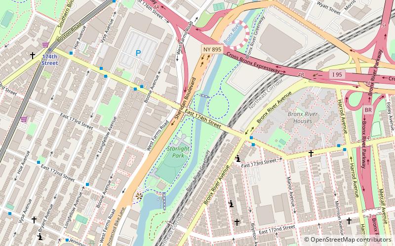
Map
Gallery
Facts and practical information
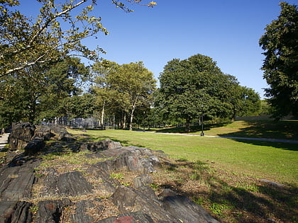
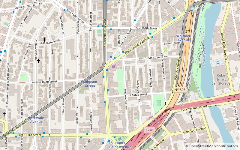
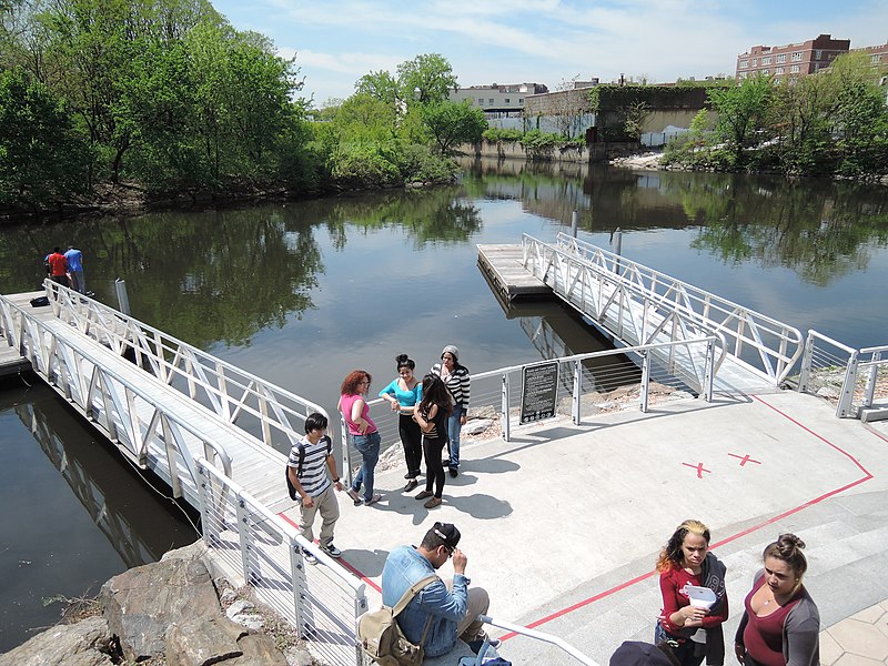
Starlight Park is a public park located along the Bronx River in the Bronx in New York City. Starlight Park stands on the site of an amusement park of the same name that operated in the first half of the 20th century. ()
Elevation: 3 ft a.s.l.Coordinates: 40°50'6"N, 73°52'53"W
Address
West Bronx (Crotona Park East)New York City
ContactAdd
Social media
Add
Day trips
Starlight Park – popular in the area (distance from the attraction)
Nearby attractions include: Bronx Zoo, Crotona Park, Printers Park, Chevra Linas Hazedek Synagogue of Harlem and the Bronx.
Frequently Asked Questions (FAQ)
Which popular attractions are close to Starlight Park?
Nearby attractions include St. Joan of Arc's Church, New York City (7 min walk), West Farms, New York City (10 min walk), Concrete Plant Park, New York City (14 min walk), Chevra Linas Hazedek Synagogue of Harlem and the Bronx, New York City (16 min walk).
How to get to Starlight Park by public transport?
The nearest stations to Starlight Park:
Metro
Bus
Train
Metro
- 174th Street • Lines: 2, 5 (10 min walk)
- West Farms Square–East Tremont Avenue • Lines: 2, 5 (10 min walk)
Bus
- East Tremont Avenue & Unionport Road • Lines: Bx42 (26 min walk)
- Unionport Road & East Tremont Avenue • Lines: Bx22 (27 min walk)
Train
- Tremont (33 min walk)
 Subway
 Manhattan Buses
