Washington Avenue, Minneapolis

Map
Facts and practical information
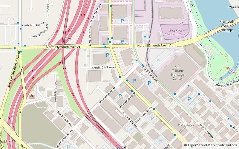
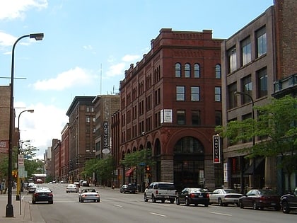
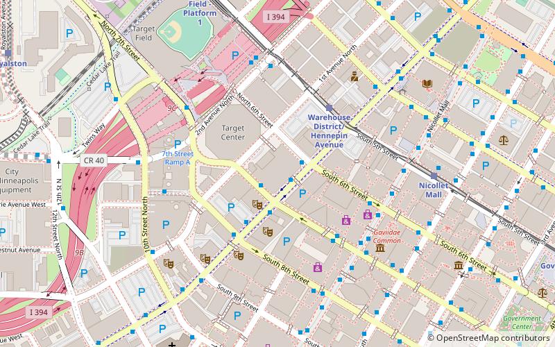
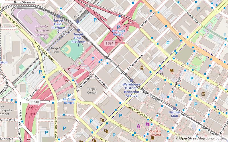
Washington Avenue is a major thoroughfare in Minneapolis, Minnesota, United States. Starting north of Lowry Avenue, North Washington Avenue runs straight south, with Interstate 94 running alongside it until just south of West Broadway, when the freeway turns to the west. The street continues running straight until just south of Plymouth Avenue, where it turns in a southeasterly direction heading for Downtown Minneapolis. It forms the main thoroughfare through the Warehouse District. ()
Coordinates: 44°59'26"N, 93°16'51"W
Address
Central Minneapolis (North Loop)Minneapolis
ContactAdd
Social media
Add
Day trips
Washington Avenue – popular in the area (distance from the attraction)
Nearby attractions include: First Avenue, Target Field, Target Center, Mayo Clinic Square.
Frequently Asked Questions (FAQ)
Which popular attractions are close to Washington Avenue?
Nearby attractions include North Loop, Minneapolis (8 min walk), Plymouth Avenue Bridge, Minneapolis (10 min walk), Traffic Zone Center for Visual Art, Minneapolis (15 min walk), Broadway Avenue Bridge, Minneapolis (17 min walk).
How to get to Washington Avenue by public transport?
The nearest stations to Washington Avenue:
Train
Light rail
Bus
Train
- Target Field (14 min walk)
Light rail
- Target Field • Lines: 901, 902 (14 min walk)
- Warehouse District/Hennepin Avenue • Lines: 901, 902 (21 min walk)
Bus
- Washington Av N • Lines: 3, 3A, 3B, 3K (15 min walk)
- 4 St Garage • Lines: 3, 3A, 3B, 3K (16 min walk)


