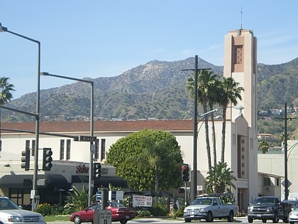
San Rafael Hills, La Cañada Flintridge
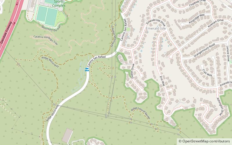
Map
Facts and practical information
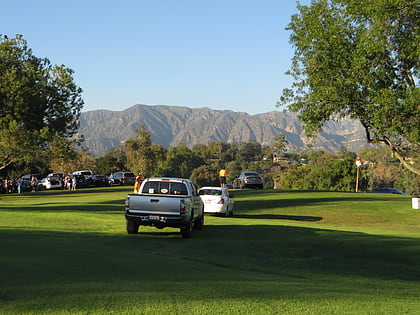
The San Rafael Hills are a mountain range in Los Angeles County, California. They are one of the lower Transverse Ranges, and are parallel to and below the San Gabriel Mountains, adjacent to the San Gabriel Valley overlooking the Los Angeles Basin. ()
Coordinates: 34°10'47"N, 118°12'38"W
Address
Glendale (Emerald Isle)La Cañada Flintridge
ContactAdd
Social media
Add
Day trips
San Rafael Hills – popular in the area (distance from the attraction)
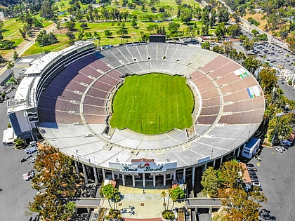
Nearby attractions include: Rose Bowl Stadium, Brookside Golf Course, Descanso Gardens, St. Gregory the Illuminator Cathedral.
