East San Diego, San Diego

Map
Facts and practical information
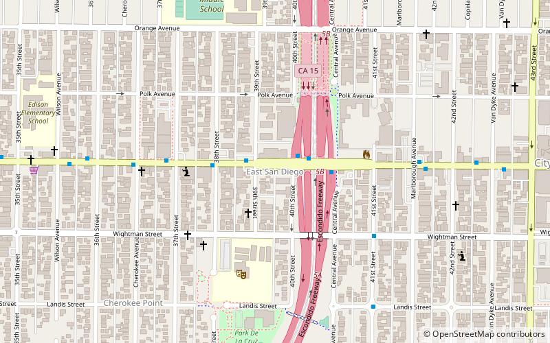
East San Diego was an independent, short-lived city that existed from 1912 to 1923 in what is now the City Heights neighborhood of the city of San Diego, California. The town had its own city hall and police department. It had a population of about 4,000. ()
Coordinates: 32°44'58"N, 117°6'36"W
Address
Mid-City (City Heights)San Diego
ContactAdd
Social media
Add
Day trips
East San Diego – popular in the area (distance from the attraction)
Nearby attractions include: Switzer Canyon, Back From Tomboctou Gallery & Imports, Normal Heights, North Park.


