Jahnke, Richmond
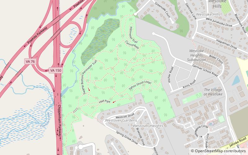
Map
Facts and practical information
Jahnke is a neighborhood in Richmond, Virginia located in the Southside region of the city. The neighborhood lies within the city limits. The zip code for the neighborhood is 23225. Jahnke is named after Jahnke Road which is the main road through the neighborhood. The heart of Jahnke is at the intersection of Jahnke Road and German School Road. ()
Coordinates: 37°31'23"N, 77°31'26"W
Address
Westover Hills - Forest Hill Park (Powhite Park)Richmond
ContactAdd
Social media
Add
Day trips
Jahnke – popular in the area (distance from the attraction)
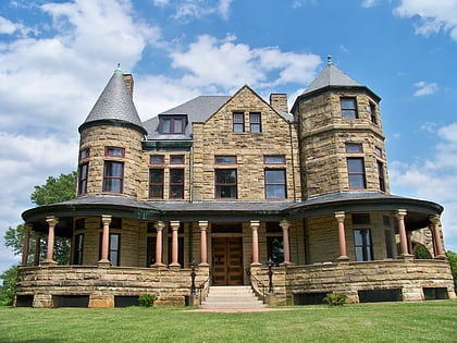
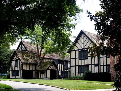
Nearby attractions include: Maymont, Agecroft Hall, Cary Street Park and Shop Center, Virginia House.
