Crescentville, Philadelphia
Map

Map

Facts and practical information
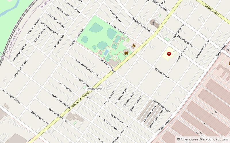
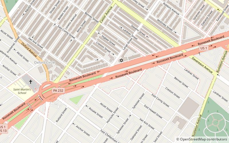
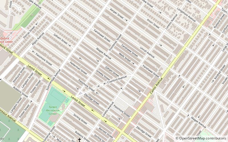
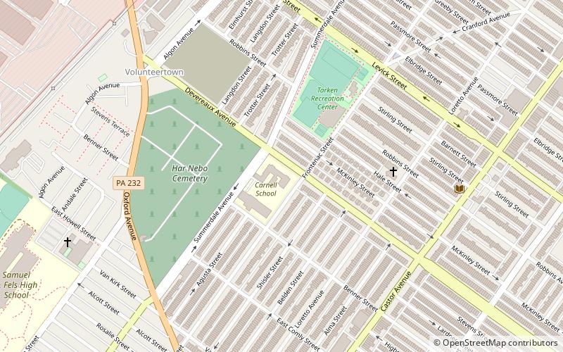
Crescentville is a neighborhood in Northeast Philadelphia. It is located in the vicinity of Adams, Rising Sun, and Tabor Avenues. The name Crescentville is thought to be derived from the Crescentville Rope Factory that once stood along the Tookany Creek watershed. ()
Coordinates: 40°2'42"N, 75°6'4"W
Address
Near Northeast Philadelphia (Lawndale)Philadelphia
ContactAdd
Social media
Add
Day trips
Crescentville – popular in the area (distance from the attraction)
Nearby attractions include: St. William Parish, Har Nebo Cemetery, Adams Avenue Bridge, St. Jude Syro Malankara Catholic Church.
Frequently Asked Questions (FAQ)
Which popular attractions are close to Crescentville?
Nearby attractions include Olney-Oak Lane, Philadelphia (5 min walk), St. William Parish, Philadelphia (7 min walk), Benjamin Franklin Academics Plus School, Philadelphia (7 min walk), Lawncrest, Philadelphia (7 min walk).
How to get to Crescentville by public transport?
The nearest stations to Crescentville:
Train
Train
- Lawndale (12 min walk)
- Cheltenham (26 min walk)

 SEPTA Regional Rail


