Oxford Circle, Philadelphia
Map
Facts and practical information
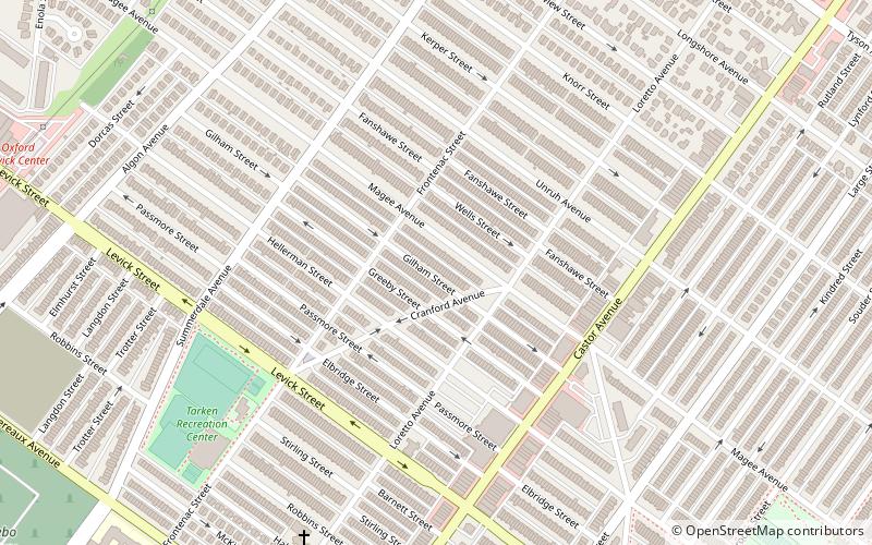
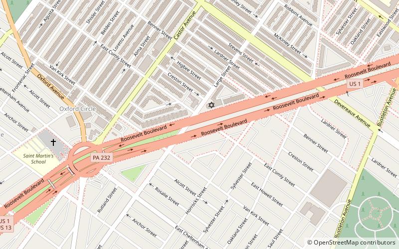
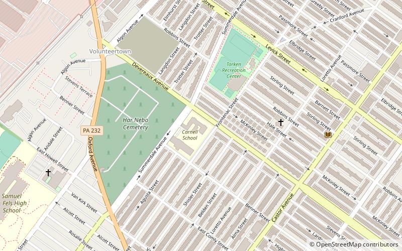
Oxford Circle is a neighborhood in the lower Northeast section of Philadelphia, Pennsylvania, United States. Its namesake is the much used traffic circle at Roosevelt Boulevard and Oxford Avenue. The Oxford Circle neighborhood has traditionally included the areas up to Rhawnhurst and Mayfair but does not really have a fixed boundary other than in publications about Philadelphia which are of a public relations or informational nature. ()
Coordinates: 40°2'35"N, 75°4'41"W
Address
Near Northeast Philadelphia (Oxford Circle)Philadelphia
ContactAdd
Social media
Add
Getting there by public transportation
Public transportation stops near this location
- Train
 Train
Train
- Calculate routeCheltenham 34 min walk
Maps SEPTA Regional Rail
SEPTA Regional RailDay trips


Frequently Asked Questions (FAQ)
Which popular attractions are close to Oxford Circle?
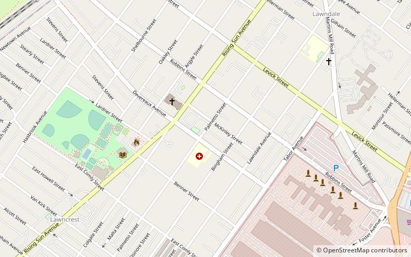
Nearby attractions include Laura H. Carnell School, Philadelphia (11 min walk), Har Nebo Cemetery, Philadelphia (15 min walk), Roosevelt Boulevard, Philadelphia (18 min walk), Woodrow Wilson Middle School, Philadelphia (21 min walk).
How to get to Oxford Circle by public transport?
The nearest stations to Oxford Circle:
Train
Train
- Cheltenham (34 min walk)