Laura H. Carnell School, Philadelphia
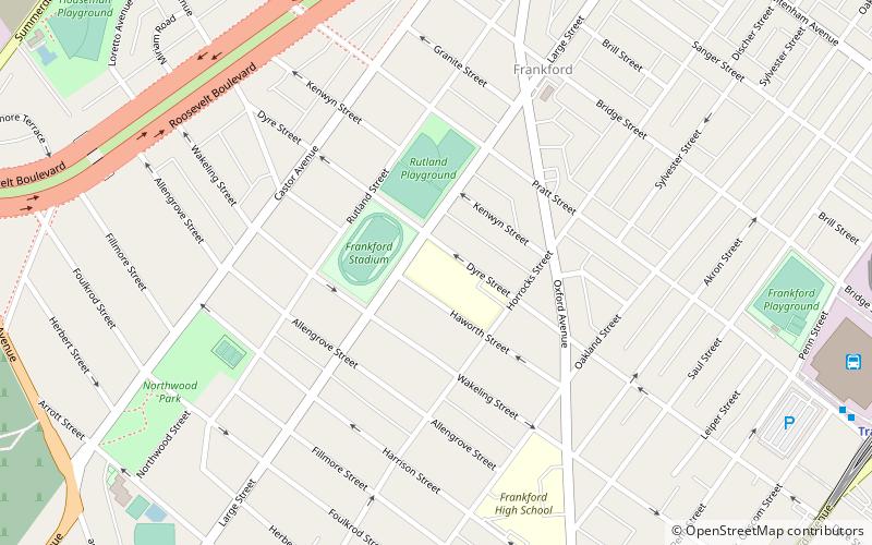
Map
Facts and practical information
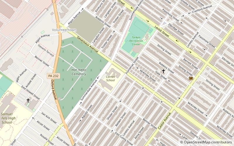
Laura H. Carnell School is an historic elementary school located in the Oxford Circle neighborhood of Philadelphia, Pennsylvania at 1100 Devereaux Avenue. It is part of the School District of Philadelphia. The building was designed by Irwin T. Catharine and built in 1930–1931. It is a three-story, eight-bay, brick building on a raised basement in the Late Gothic Revival style. A rear addition was built in 1953. It features stone arched entryways, stone two-story bay, and crenellated battlement with four small towers. The school was named after Temple University dean Laura H. Carnell. ()
Coordinates: 40°2'20"N, 75°5'2"W
Address
Near Northeast Philadelphia (Oxford Circle)Philadelphia
ContactAdd
Social media
Add
Getting there by public transportation
Public transportation stops near this location
- Metro
- Bus
- Train
 Metro
Metro
- Calculate routeSEPTA Frankford Transportation Center 28 min walk
- Calculate routeFrankford Transportation Center 30 min walk
- Calculate routeFrankford Transportation Center 30 min walk
- Calculate routeLawndale 34 min walk
Maps SEPTA Regional Rail
SEPTA Regional RailDay trips


Frequently Asked Questions (FAQ)
Which popular attractions are close to Laura H. Carnell School?
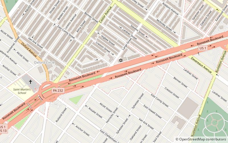
Nearby attractions include Har Nebo Cemetery, Philadelphia (5 min walk), Oxford Circle, Philadelphia (11 min walk), Roosevelt Boulevard, Philadelphia (12 min walk), Cedar Grove Christian Academy, Philadelphia (22 min walk).
How to get to Laura H. Carnell School by public transport?
The nearest stations to Laura H. Carnell School:
Bus
Metro
Train
Bus
- SEPTA Frankford Transportation Center (28 min walk)
- Frankford Transportation Center (30 min walk)
Metro
- Frankford Transportation Center • Lines: Mfl (30 min walk)
Train
- Lawndale (34 min walk)