Mary's, Houston
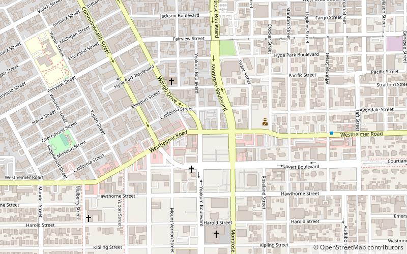
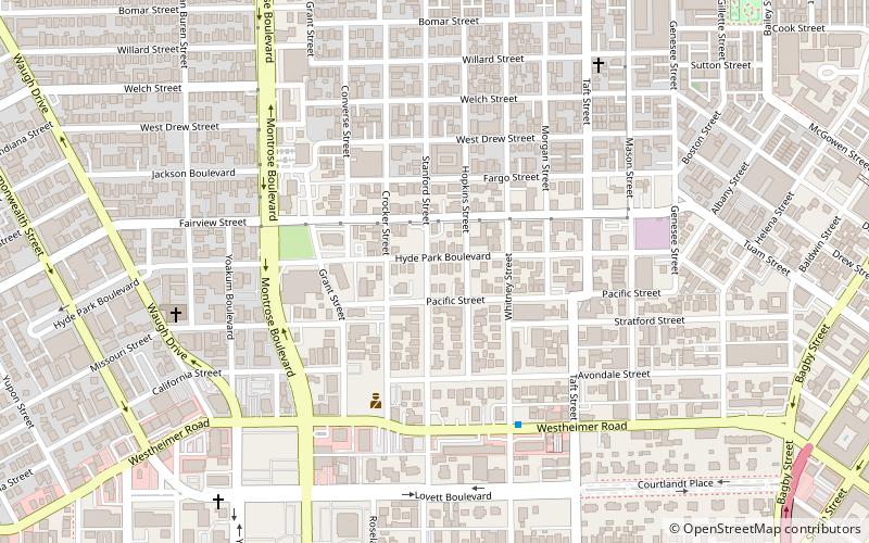
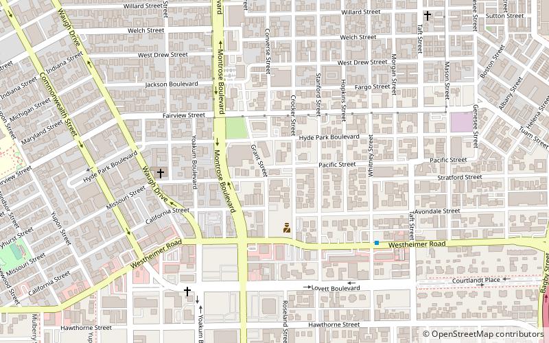
Map
Facts and practical information
Mary's, originally called Mary's, Naturally and sometimes referred to as Mary's Lounge, was an iconic gay bar located in the Montrose neighborhood in Houston, Texas, in the United States. The bar opened in 1968, and by the time of its permanent closing in November 2009, it was the oldest gay bar in Houston and one of the oldest in Texas. In addition to being one of the most popular and well-known gay bars in Montrose, Mary's was a hub for gay political activism. In 2011, OutSmart said that the bar "anchored" Houston's gay community in Montrose during its nearly forty-year history. ()
Coordinates: 29°44'41"N, 95°23'33"W
Address
Inner Loop (Neartown - Montrose)Houston
ContactAdd
Social media
Add
Getting there by public transportation
Public transportation stops near this location
- Bus
- Light rail
 Bus
Bus
- Calculate routeEnsemble/HCC 23 min walk
- Calculate routeWheeler 26 min walk
- Calculate routeMcGowen 29 min walk
- Calculate routeWheeler Station Transit Center 26 min walk
- Calculate routeFlixBus Houston 30 min walk
Day trips


Frequently Asked Questions (FAQ)
Which popular attractions are close to Mary's?
Nearby attractions include Annunciation Greek Orthodox Cathedral, Houston (7 min walk), Anderson Fair, Houston (10 min walk), Neartown Houston, Houston (12 min walk), Chapel of St. Basil, Houston (12 min walk).
How to get to Mary's by public transport?
The nearest stations to Mary's:
Light rail
Bus
Light rail
- Ensemble/HCC • Lines: Red (23 min walk)
- Wheeler • Lines: Red (26 min walk)
Bus
- Wheeler Station Transit Center (26 min walk)
- FlixBus Houston • Lines: 2210, 2211, 2240, 2271 (30 min walk)