Perring-Loch, Baltimore
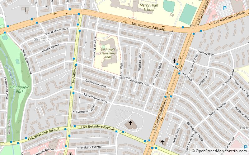
Map
Facts and practical information
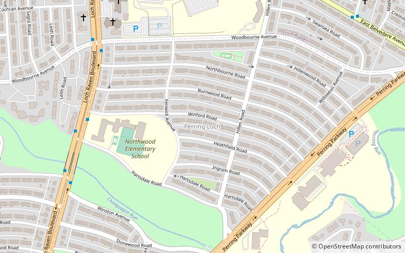
Perring-Loch is a small community located in northeast Baltimore, Maryland, United States. Perring Parkway serves as its eastern border and Loch Raven Boulevard as its western border; hence the name Perring-Loch. Woodbourne Avenue and Hartsdale Road are the northern and southern boundaries respectively. The entire community is with the 21239 postal zip code and is served by the Perring Loch community association. ()
Coordinates: 39°21'10"N, 76°35'7"W
Address
Northeastern Baltimore (Perring Loch)Baltimore
ContactAdd
Social media
Add
Getting there by public transportation
Public transportation stops near this location
- Bus
 Bus
Bus
- Calculate routeLoch Raven Boulevard & Northern Parkway Northbound 24 min walk
- Calculate routeNorthern Parkway & Loch Raven Boulevard Far-side Northbound 24 min walk
- Calculate routeNorthern Parkway & Loch Raven Boulevard Westbound 24 min walk
- Calculate routeLoch Raven Boulevard & Northern Parkway Southbound 24 min walk
Day trips


Frequently Asked Questions (FAQ)
Which popular attractions are close to Perring-Loch?
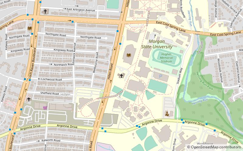
Nearby attractions include Stonewood-Pentwood-Winston, Baltimore (14 min walk), Morgan State University Memorial Chapel, Baltimore (18 min walk), Hillen, Baltimore (21 min walk), Ramblewood, Baltimore (21 min walk).
How to get to Perring-Loch by public transport?
The nearest stations to Perring-Loch:
Bus
Bus
- Loch Raven Boulevard & Northern Parkway Northbound • Lines: 103, Gr (24 min walk)
- Northern Parkway & Loch Raven Boulevard Far-side Northbound • Lines: 33 (24 min walk)