Swisshelm Park, Pittsburgh
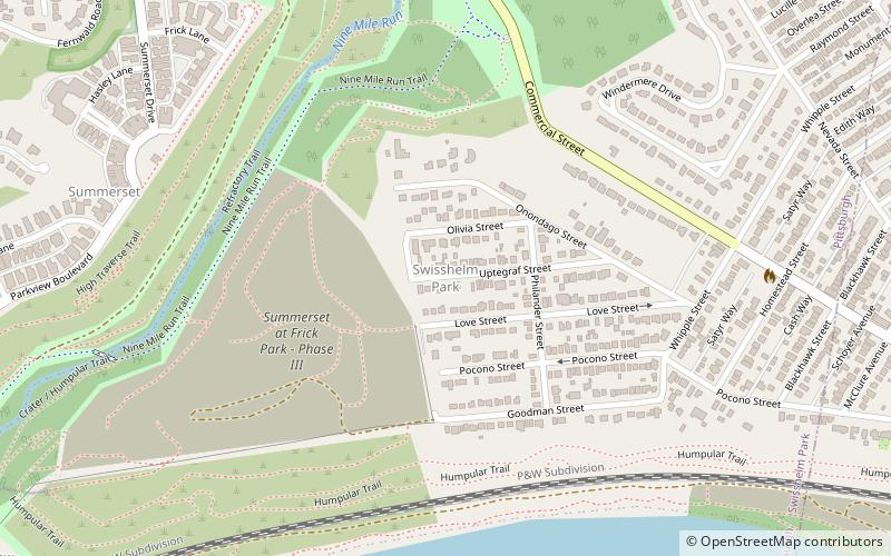
Map
Facts and practical information
Swisshelm Park is a neighborhood located in the southeast corner of Pittsburgh, Pennsylvania. It is represented on Pittsburgh City Council by Corey O'Connor. Swisshelm Park houses PBF 19 Engine, and is covered by PBP Zone 4 and the Bureau of EMS Medic 7. ()
Area: 0.48 mi²Coordinates: 40°25'15"N, 79°54'22"W
Address
East End (Swisshelm Park)Pittsburgh
ContactAdd
Social media
Add
Getting there by public transportation
Public transportation stops near this location
- Bus
 Bus
Bus
- Calculate routeWaterfront Drive past Lowe's Driveway 13 min walk
- Calculate routeGiant Eagle Drive 17 min walk
Day trips


Frequently Asked Questions (FAQ)
Which popular attractions are close to Swisshelm Park?
Nearby attractions include Summerset, Pittsburgh (15 min walk), Frick Park, Pittsburgh (18 min walk), Mellon Square, Pittsburgh (21 min walk), Bost Building, Homestead (21 min walk).
How to get to Swisshelm Park by public transport?
The nearest stations to Swisshelm Park:
Bus
Bus
- Waterfront Drive past Lowe's Driveway • Lines: 59 (13 min walk)
- Giant Eagle Drive • Lines: 59 (17 min walk)