Glen Hazel, Pittsburgh

Map
Facts and practical information
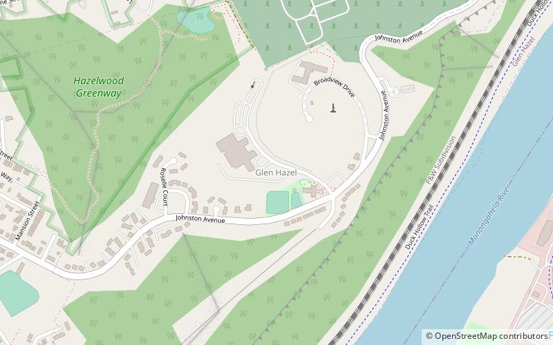
Glen Hazel is a neighborhood in Pittsburgh, Pennsylvania's east city area. It has both zip codes of 15207 and 15217, and has representation on Pittsburgh City Council by Corey O'Connor. The neighborhood is located on a hilltop along the Monongahela River and primarily consists of a public housing development of the same name, along with a county-owned nursing home. ()
Area: 0.46 mi²Coordinates: 40°24'26"N, 79°55'45"W
Address
East End (Glen Hazel)Pittsburgh
ContactAdd
Social media
Add
Day trips
Glen Hazel – popular in the area (distance from the attraction)
Nearby attractions include: Sandcastle Waterpark, The Waterfront, Homestead Grays Bridge, Glenwood Bridge.
Frequently Asked Questions (FAQ)
Which popular attractions are close to Glen Hazel?
Nearby attractions include Calvary Catholic Cemetery, Pittsburgh (14 min walk), Homestead Grays Bridge, Pittsburgh (16 min walk), Hazelwood, Pittsburgh (17 min walk), Glenwood B&O Railroad Bridge, Pittsburgh (18 min walk).
How to get to Glen Hazel by public transport?
The nearest stations to Glen Hazel:
Bus
Bus
- Waterfront Drive at Costco Driveway • Lines: 59 (13 min walk)


