Hikes Point, Louisville
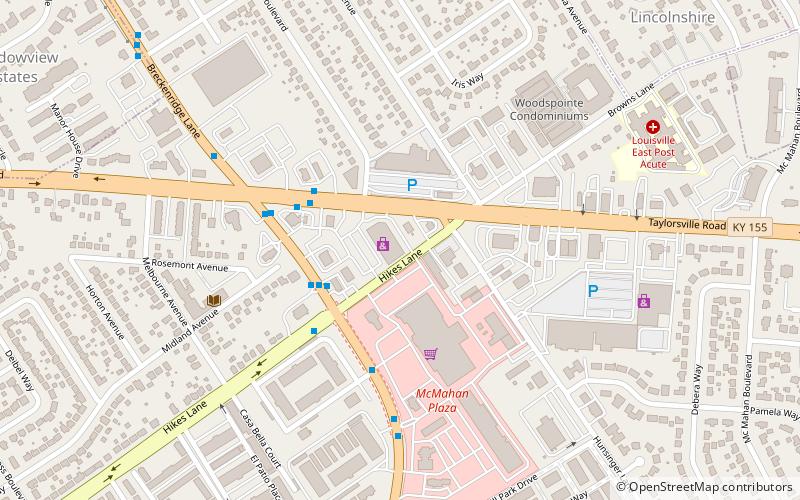
Map
Facts and practical information
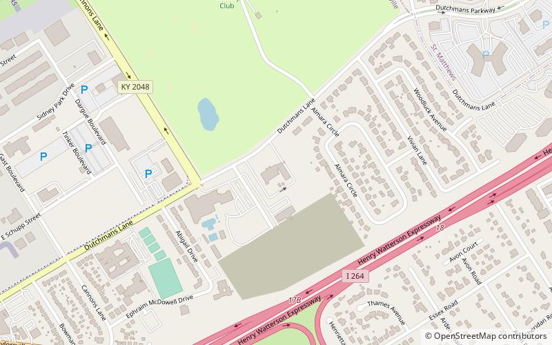
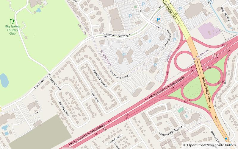
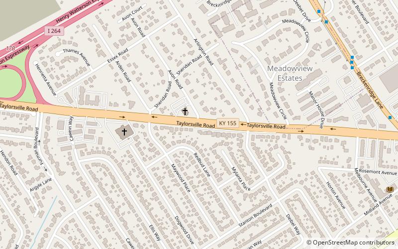
Hikes Point is a neighborhood in eastern Louisville, Kentucky, USA. Its boundaries are I-264 to the north, Breckenridge Lane to the west, and irregular boundaries to the other sides. ()
Coordinates: 38°13'9"N, 85°37'38"W
Address
East Louisville (Hikes Point)Louisville
ContactAdd
Social media
Add
Day trips
Hikes Point – popular in the area (distance from the attraction)
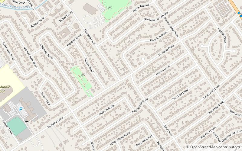
Nearby attractions include: Anshei Sfard, Little Haifa or New Preston St., Klondike, Avondale-Melbourne Heights.
