Avondale-Melbourne Heights, Louisville
Map
Facts and practical information
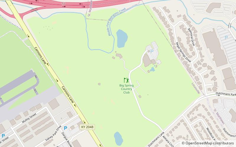
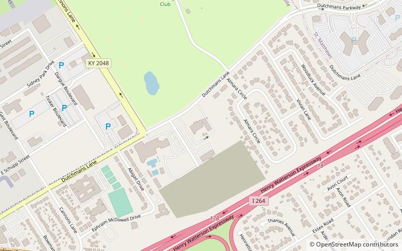
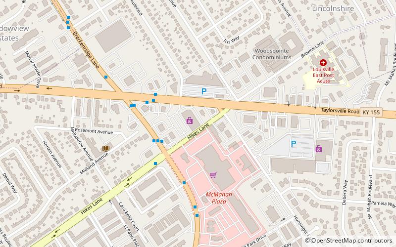
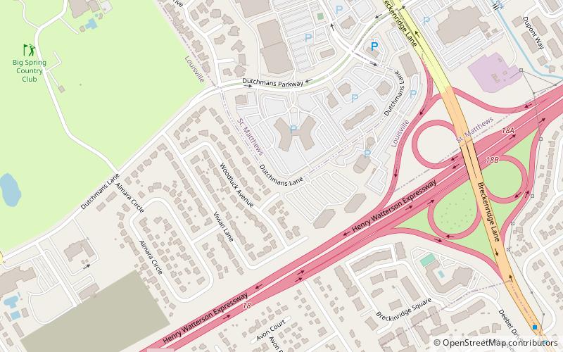
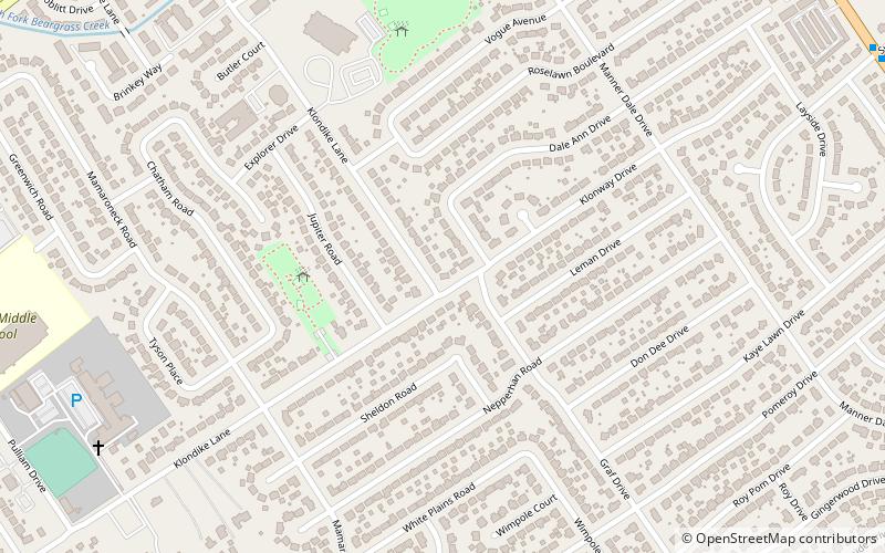
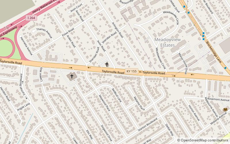
Avondale-Melbourne Heights is a neighborhood in Louisville, Kentucky, United States. Its boundaries are Breckenridge Lane on the east, Hikes Lane to the south, Furman Boulevard to the west, and the Watterson Expressway on the north. The sixth-class city of Meadowview Estates is excluded. ()
Coordinates: 38°13'14"N, 85°38'22"W
Address
East Louisville (Avondale Melbourne Heights)Louisville
ContactAdd
Social media
Add
Day trips
Avondale-Melbourne Heights – popular in the area (distance from the attraction)
Nearby attractions include: Big Spring Country Club, Anshei Sfard, Hikes Point, Little Haifa or New Preston St..
Frequently Asked Questions (FAQ)
Which popular attractions are close to Avondale-Melbourne Heights?
Nearby attractions include Little Haifa or New Preston St., Louisville (14 min walk), Anshei Sfard, Louisville (16 min walk), Hikes Point, Louisville (18 min walk).
