Corliss Tunnel, Pittsburgh
Map

Map

Facts and practical information
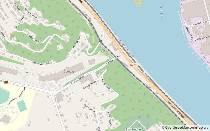
Corliss Tunnel, located at Corliss Street south from West Carson Street in the Elliott neighborhood of Pittsburgh, Pennsylvania, was built in 1914. It was added to the List of Pittsburgh History and Landmarks Foundation Historic Landmarks in 2002. ()
Coordinates: 40°27'8"N, 80°2'27"W
Address
West End (Sheraden)Pittsburgh
ContactAdd
Social media
Add
Day trips
Corliss Tunnel – popular in the area (distance from the attraction)
Nearby attractions include: Point of View Sculpture, Miniature Railroad & Village, Bicycle Heaven, Carnegie Science Center.
Frequently Asked Questions (FAQ)
Which popular attractions are close to Corliss Tunnel?
Nearby attractions include Bicycle Heaven, Pittsburgh (14 min walk), West End Overlook, Pittsburgh (14 min walk), Elliott, Pittsburgh (17 min walk), Chateau, Pittsburgh (18 min walk).
How to get to Corliss Tunnel by public transport?
The nearest stations to Corliss Tunnel:
Bus
Bus
- Sheraden (17 min walk)
- Fingal St at Rutledge St • Lines: 40 (28 min walk)


