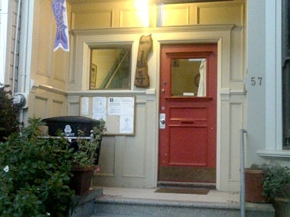
Alfred E. Clarke Mansion, San Francisco
Map
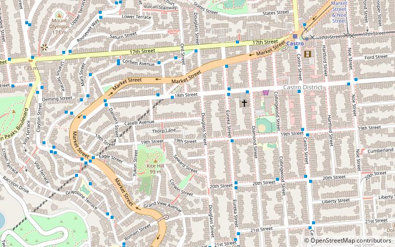
Map

Facts and practical information
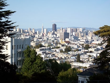
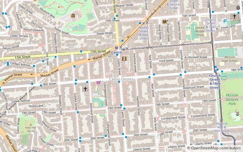
The Alfred E. Clarke Mansion, also known as the Caselli Mansion, Nobby Clarke's Castle and Nobby Clarke's Folly, is a mansion at 250 Douglass Street on the corner of Caselli Avenue in Eureka Valley, San Francisco, California. Built in 1891 by Alfred "Nobby" Clarke, it has been a hospital and is now an apartment building. It became a San Francisco Designated Landmark in 1975. ()
Coordinates: 37°45'35"N, 122°26'22"W
Address
Southwest San Francisco (Eureka Valley)San Francisco
ContactAdd
Social media
Add
Day trips
Alfred E. Clarke Mansion – popular in the area (distance from the attraction)
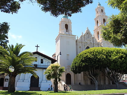
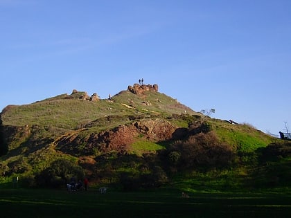
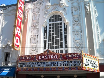
Nearby attractions include: GLBT History Museum, Mission Dolores Park, Mission Dolores, Corona Heights Park.
Frequently Asked Questions (FAQ)
Which popular attractions are close to Alfred E. Clarke Mansion?
Nearby attractions include Most Holy Redeemer Church, San Francisco (4 min walk), Corwin Street Community Garden, San Francisco (4 min walk), Friends of Kite Hill Open Space, San Francisco (5 min walk), GLBT History Museum, San Francisco (6 min walk).
How to get to Alfred E. Clarke Mansion by public transport?
The nearest stations to Alfred E. Clarke Mansion:
Trolleybus
Bus
Tram
Light rail
Train
Metro
Trolleybus
- 18th Street & Hattie Street • Lines: 33 (3 min walk)
Bus
- Corbett Avenue & Ord Street • Lines: 37 (5 min walk)
- 17th Street & Diamond Street • Lines: 37 (6 min walk)
Tram
- 17th Street & Castro Street • Lines: F (9 min walk)
- Market Street & Church Street • Lines: F (21 min walk)
Light rail
- Castro • Lines: K, S, T (9 min walk)
- Church Street & 18th Street • Lines: J (16 min walk)
Train
- Carl Street & Cole Street (19 min walk)
- UCSF Parnassus (28 min walk)
Metro
- 16th Street Mission • Lines: Blue, Green, Red, Yellow (30 min walk)
- 24th Street Mission • Lines: Blue, Green, Red, Yellow (32 min walk)

 Muni Metro

