Lower Roxbury Historic District, Boston

Gallery (1)
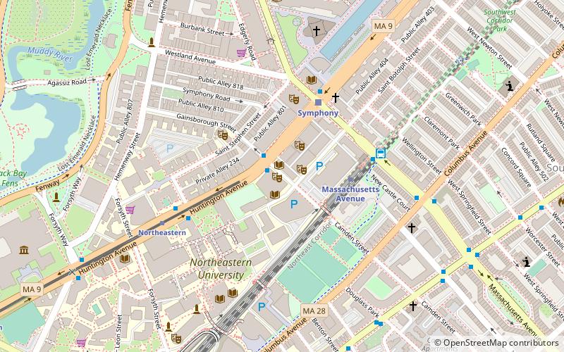
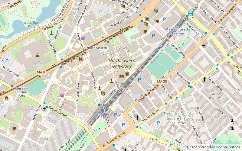
Map

Map
Facts and practical information
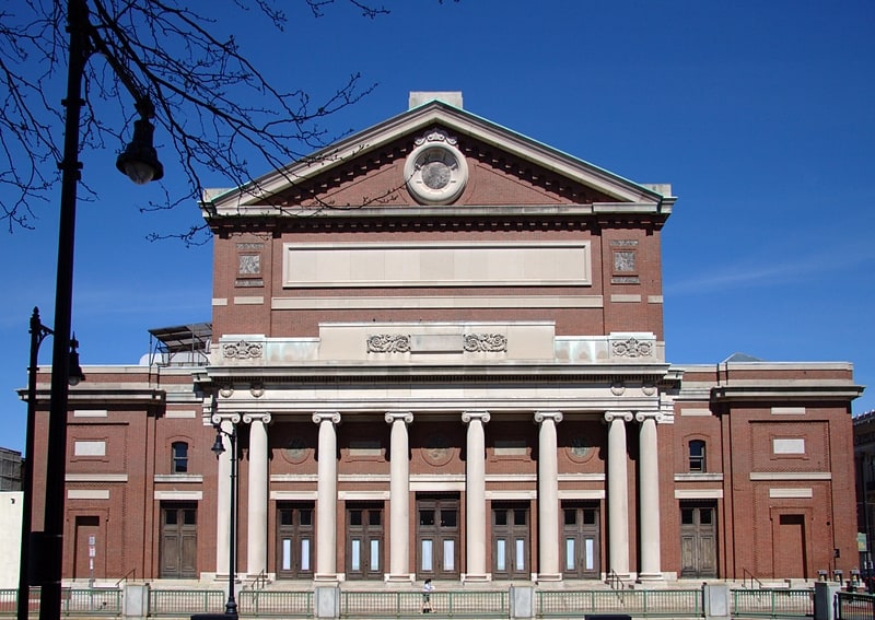
The Lower Roxbury Historic District is a historic district encompassing an isolated pocket of 1890s mixed residential-commercial property in the lower Roxbury neighborhood of Boston, Massachusetts. Bounded by Tremont, Columbus, and Burke Streets and St. Cyprian's Place, the area contains a well-kept collection of architect designed buildings that survived late 20th-century urban redevelopment. The district was added to the National Register of Historic Places in 1994. ()
Coordinates: 42°20'11"N, 71°5'12"W
Address
Roxbury (Lower Roxbury)Boston
ContactAdd
Social media
Add
Getting there by public transportation
Public transportation stops near this location
- Metro
- Bus
- Light rail
- Train
 Metro
Metro
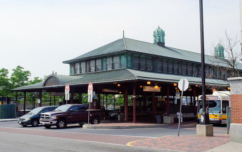
- Calculate routeRuggles Sta - Inbound 3 min walk
- Calculate routeRuggles St @ Annunciation Rd 9 min walk
- Calculate routeMassachusetts Ave @ Tremont St 10 min walk
- Calculate routeRuggles 4 min walk
- Calculate routeBoston Back Bay 25 min walk
- Calculate routeLansdowne 26 min walk
- Calculate routeNewmarket 32 min walk
- Calculate routeRuggles 4 min walk
- Calculate routeMassachusetts Avenue 9 min walk
- Calculate routeRoxbury Crossing 16 min walk
- Calculate routeBack Bay 26 min walk
- Calculate routeNortheastern 8 min walk
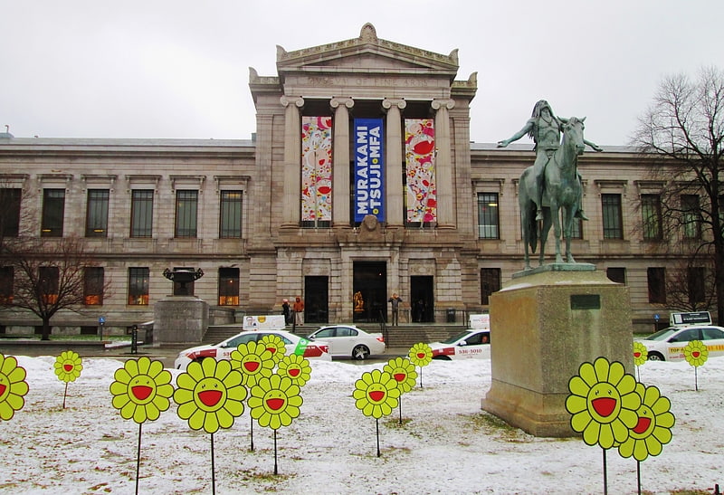
- Calculate routeMuseum of Fine Arts 12 min walk
- Calculate routeSymphony 12 min walk
- Calculate routeLongwood Medical Area 17 min walk
Maps MBTA Subway
MBTA SubwayDay trips


Frequently Asked Questions (FAQ)
Which popular attractions are close to Lower Roxbury Historic District?
Nearby attractions include Interdisciplinary Science and Engineering Complex, Boston (3 min walk), Frederick Douglass Square Historic District, Boston (4 min walk), Snell Library, Boston (4 min walk), Northeastern University School of Pharmacy, Boston (7 min walk).
How to get to Lower Roxbury Historic District by public transport?
The nearest stations to Lower Roxbury Historic District:
Bus
Train
Metro
Light rail
Bus
- Ruggles Sta - Inbound • Lines: 23 (3 min walk)
- Ruggles St @ Annunciation Rd • Lines: 8 (9 min walk)
Train
- Ruggles (4 min walk)
- Boston Back Bay (25 min walk)
Metro
- Ruggles • Lines: Orange (4 min walk)
- Massachusetts Avenue • Lines: Orange (9 min walk)
Light rail
- Northeastern • Lines: E (8 min walk)
- Museum of Fine Arts • Lines: E (12 min walk)