Thor Temple, Grand Canyon National Park

Gallery (1)
Map
Map
Facts and practical information
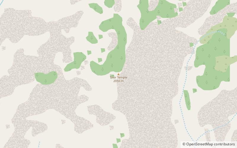
Thor Temple is a 6,741-foot -elevation summit located in the Grand Canyon, in Coconino County of northern Arizona, United States. It is situated 2.5 miles west-northwest of Cape Royal on the canyon's North Rim, 3.5 miles east of Brahma Temple, and 2 miles north-northwest of Wotans Throne. It rises 4,300 feet above the Colorado River in 5 miles. According to the Köppen climate classification system, Thor Temple is located in a cold semi-arid climate zone. ()
Coordinates: 36°7'50"N, 111°58'51"W
Address
Grand Canyon National Park
ContactAdd
Social media
Add
Day trips


