Torresdale, Philadelphia
Map
Facts and practical information
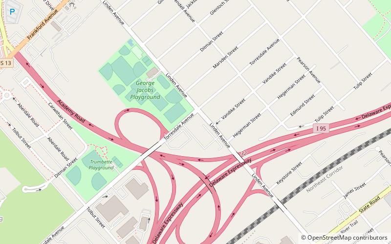
Torresdale, also formerly known as Torrisdale, is a neighborhood in the Far Northeast section of Philadelphia. Torresdale is located along the Delaware River between Holmesburg and Bensalem Township in neighboring Bucks County. ()
Coordinates: 40°2'60"N, 75°0'0"W
Address
North Delaware (Torresdale)Philadelphia
ContactAdd
Social media
Add
Day trips
Torresdale – popular in the area (distance from the attraction)
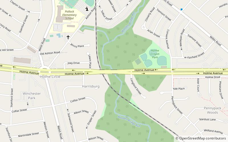
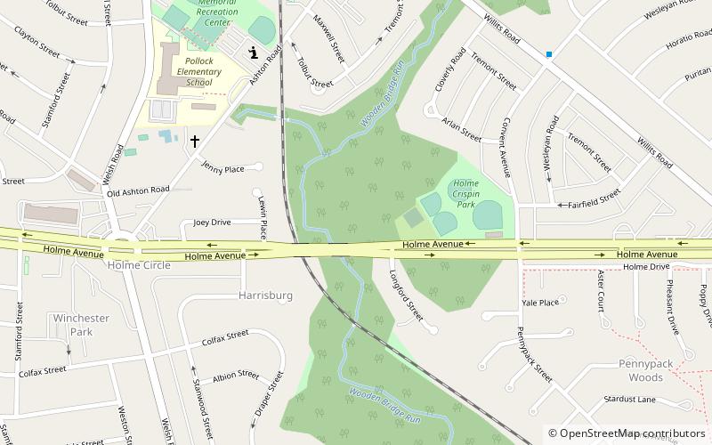
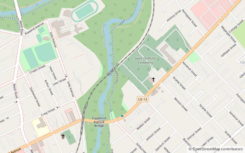
Nearby attractions include: Frankford Avenue Bridge, Holme Avenue Bridge, Glen Foerd on the Delaware, Holme Circle.
Frequently Asked Questions (FAQ)
Which popular attractions are close to Torresdale?
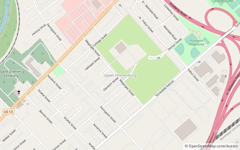
Nearby attractions include Upper Holmesburg, Philadelphia (15 min walk), Academy Gardens, Philadelphia (21 min walk).
How to get to Torresdale by public transport?
The nearest stations to Torresdale:
Train
Train
- Torresdale (23 min walk)
 SEPTA Regional Rail
