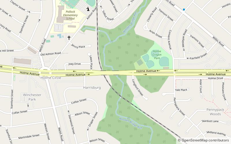
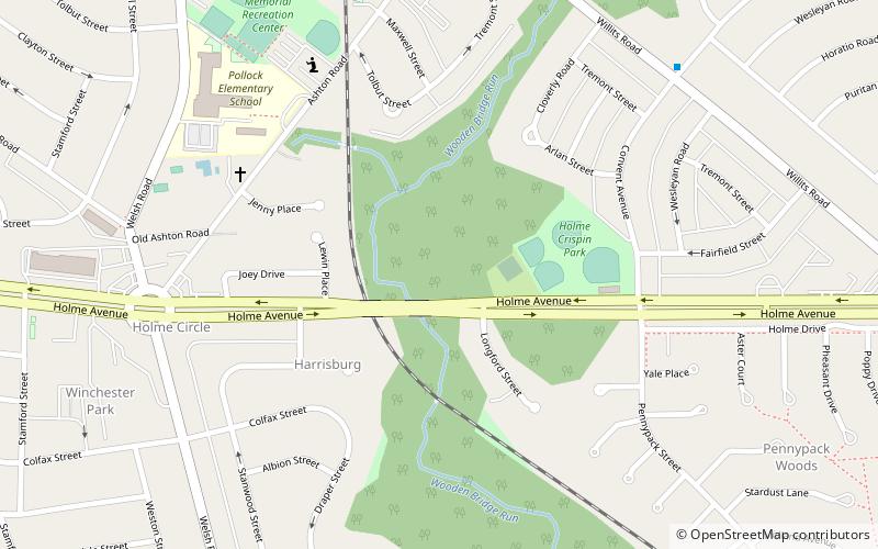
Winchester Park, Philadelphia
Map
Facts and practical information
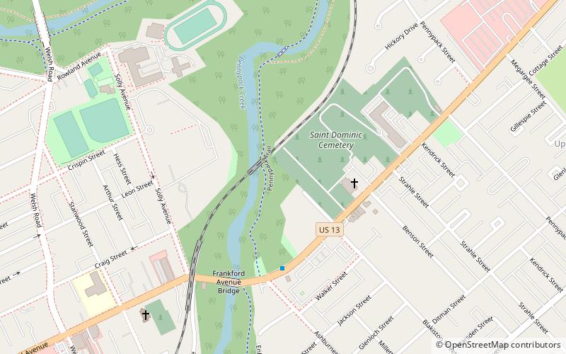
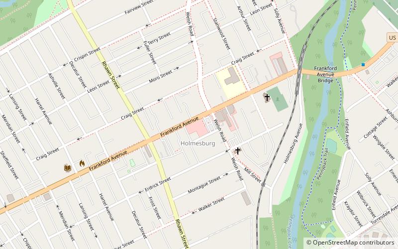
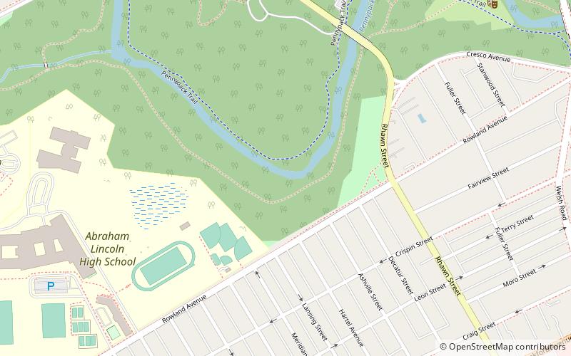
Winchester Park is a neighborhood in Far Northeast Philadelphia. It is located in the vicinity of Pennypack Park, north and west of Holmesburg. ()
Coordinates: 40°2'46"N, 75°1'8"W
Address
Pennypack ParkPhiladelphia
ContactAdd
Social media
Add
Getting there by public transportation
Public transportation stops near this location
- Train
 Train
Train
- Calculate routeHolmesburg Junction 25 min walk
Maps SEPTA Regional Rail
SEPTA Regional RailDay trips


Frequently Asked Questions (FAQ)
Which popular attractions are close to Winchester Park?
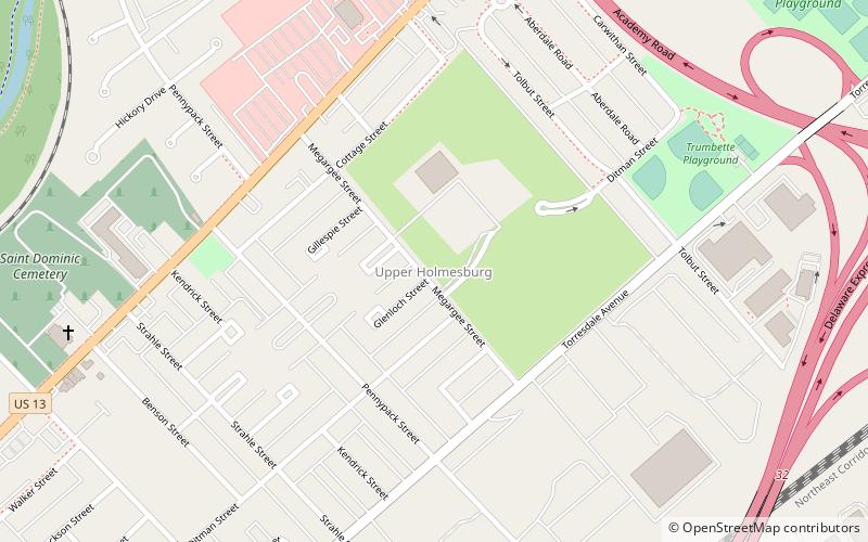
Nearby attractions include Frankford Avenue Bridge, Philadelphia (5 min walk), Insectarium, Philadelphia (12 min walk), Penypack Theatre, Philadelphia (12 min walk), Upper Holmesburg, Philadelphia (13 min walk).
How to get to Winchester Park by public transport?
The nearest stations to Winchester Park:
Train
Train
- Holmesburg Junction (25 min walk)