Greenbelt Knoll, Philadelphia
Map
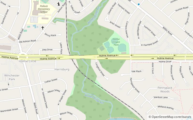
Map

Facts and practical information
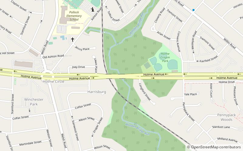
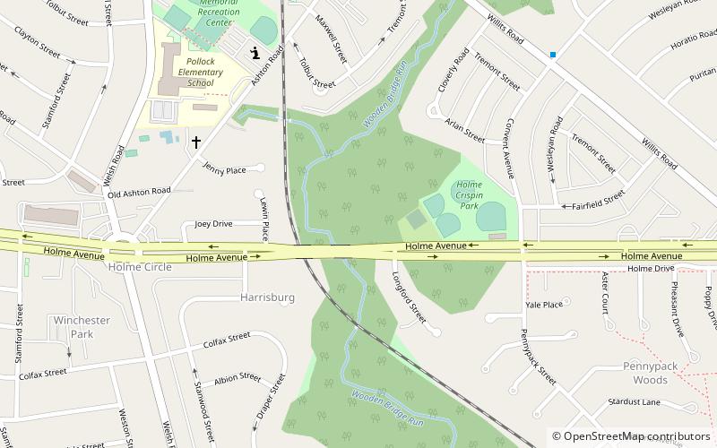
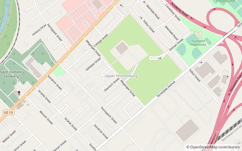
Greenbelt Knoll is a residential development in the Northeast section of Philadelphia, Pennsylvania. Planned and built from 1952 to 1957, it is notable as the first planned racially integrated development in Philadelphia and among the first in the United States. ()
Coordinates: 40°3'23"N, 75°1'20"W
Address
Far Northeast Philadelphia (Pennypack Woods)Philadelphia
ContactAdd
Social media
Add
Day trips
Greenbelt Knoll – popular in the area (distance from the attraction)
Nearby attractions include: Frankford Avenue Bridge, Holme Avenue Bridge, Insectarium, Penypack Theatre.
Frequently Asked Questions (FAQ)
Which popular attractions are close to Greenbelt Knoll?
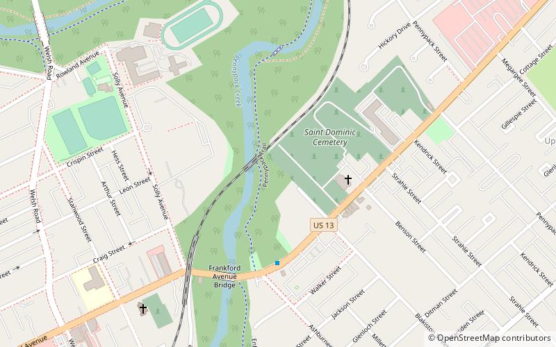
Nearby attractions include Holme Circle, Philadelphia (2 min walk), Holme Avenue Bridge, Philadelphia (2 min walk), Winchester Park, Philadelphia (19 min walk), Frankford Avenue Bridge, Philadelphia (23 min walk).

 SEPTA Regional Rail
