Caiuctucuc, Cumberland

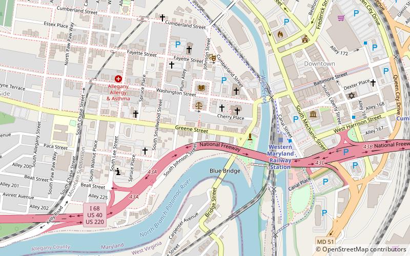
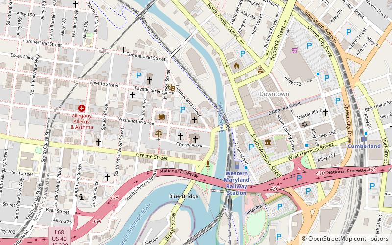
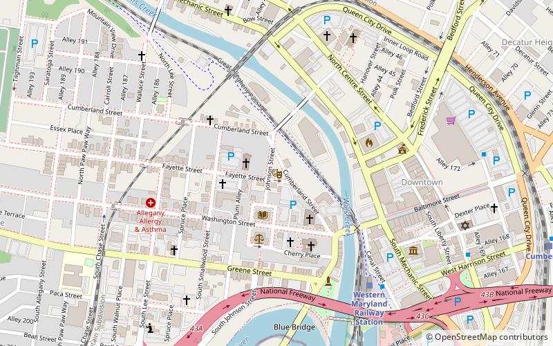
Map
Facts and practical information
Caiuctucuc was a large village of on the western side of what is now Cumberland, Maryland, found between 1720 and 1730 by early European explorers. It sat at the junction of the Cohongaronta and the Caiuctucuc streams. Tipis and lodges lined the riverbank along present day Green Street in western Cumberland. ()
Coordinates: 39°39'0"N, 78°46'0"W
Address
Cumberland
ContactAdd
Social media
Add
Day trips
Caiuctucuc – popular in the area (distance from the attraction)
Nearby attractions include: Great Allegheny Passage, Canal Place, B'er Chayim Temple, Washington Street Library.
Frequently Asked Questions (FAQ)
Which popular attractions are close to Caiuctucuc?
Nearby attractions include Allegany County Courthouse, Cumberland (2 min walk), Emmanuel Episcopal Church, Cumberland (2 min walk), Washington Street Library, Cumberland (3 min walk), Fort Cumberland, Cumberland (3 min walk).
How to get to Caiuctucuc by public transport?
The nearest stations to Caiuctucuc:
Train
Train
- Cumberland (12 min walk)


