Georgian Heights, Columbus

Map
Facts and practical information
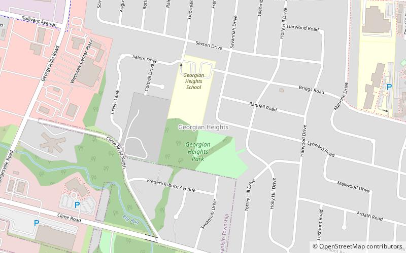
Georgian Heights is a neighborhood in West Columbus, in Columbus, Ohio, United States. It neighbors Holly Hill. The two are bounded together by Sullivant Avenue on the north, Clime Road on the south, Georgesville Road on the west, and Demorest Road on the east. There is a 10.7 acre public park, Georgian Heights Park, in the center of the area. Georgian Heights has a youth travel football team called the Georgian Heights Packers. The neighborhood is generally lower-middle class. ()
Coordinates: 39°56'7"N, 83°6'24"W
Address
Hilltop (Georgian Heights)Columbus
ContactAdd
Social media
Add
Day trips
Georgian Heights – popular in the area (distance from the attraction)
Nearby attractions include: Mount Calvary Cemetery, Camp Chase, Green Lawn Cemetery, Gantz Park.
Frequently Asked Questions (FAQ)
How to get to Georgian Heights by public transport?
The nearest stations to Georgian Heights:
Bus
Bus
- Sullivant Ave & Georgesville Rd • Lines: 6 (13 min walk)


