Ballardvale District, Andover
Map

Map

Facts and practical information
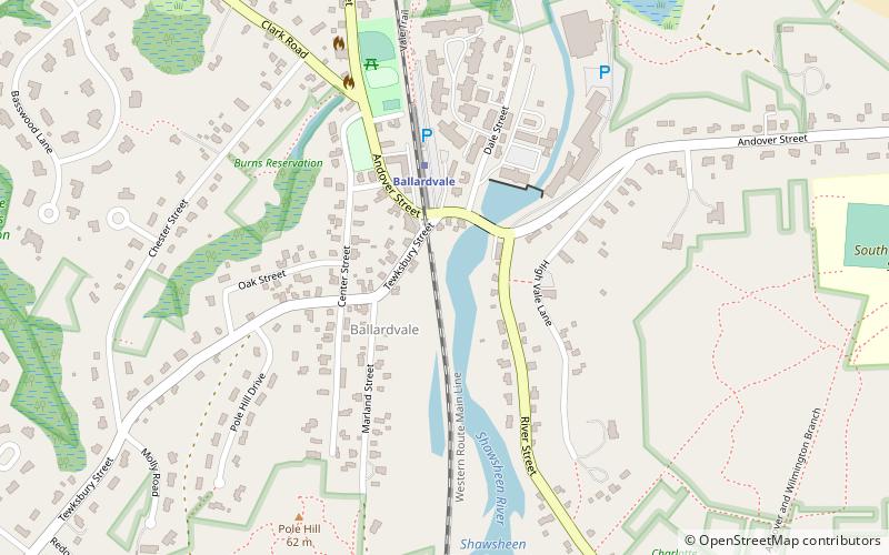
The Ballardvale District in Andover, Massachusetts, encompasses the historic mill village of Ballardvale in the northwestern part of the town. It is centered on the crossing the Shawsheen River by Andover Street, and includes buildings on High Street, Center Street, and other adjacent roads on both sides of the river. The district was listed on the National Register of Historic Places in 1982. ()
Coordinates: 42°37'33"N, 71°9'34"W
Address
AndoverAndover
ContactAdd
Social media
Add
Day trips
Ballardvale District – popular in the area (distance from the attraction)
Nearby attractions include: Aleppo Shriners Auditorium, Addison Gallery of American Art, J. Everett Collins Center for the Performing Arts, Robert S. Peabody Museum of Archaeology.
Frequently Asked Questions (FAQ)
How to get to Ballardvale District by public transport?
The nearest stations to Ballardvale District:
Train
Train
- Ballardvale (3 min walk)


