Shockoe Slip, Richmond
Map

Map

Facts and practical information
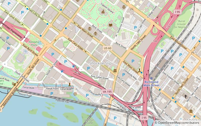
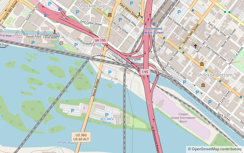
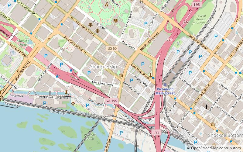
Shockoe Slip is a district in the downtown area of Richmond, Virginia. The name "slip" referred to a narrow passageway leading from Main Street to where goods were loaded and unloaded from the former James River and Kanawha Canal. The rough boundaries of Shockoe Slip include 14th Street, Main Street, Canal Street and 12th Street. ()
Coordinates: 37°32'7"N, 77°26'2"W
Address
Downtown Richmond (Shockoe Slip)Richmond
ContactAdd
Social media
Add
Day trips
Shockoe Slip – popular in the area (distance from the attraction)
Nearby attractions include: Virginia State Capitol, Richmond Coliseum, Virginia Washington Monument, The National.
Frequently Asked Questions (FAQ)
Which popular attractions are close to Shockoe Slip?
Nearby attractions include First Freedom Center, Richmond (2 min walk), Planters National Bank, Richmond (3 min walk), Lewis F. Powell, Richmond (4 min walk), Deep Run Baptist Church, Richmond (5 min walk).
How to get to Shockoe Slip by public transport?
The nearest stations to Shockoe Slip:
Train
Bus
Train
- Richmond Main Street (7 min walk)
Bus
- A • Lines: 1A, 1C (12 min walk)
- B • Lines: 1A, 1C (12 min walk)


