Downtown Saint Paul, Saint Paul
Facts and practical information
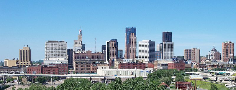
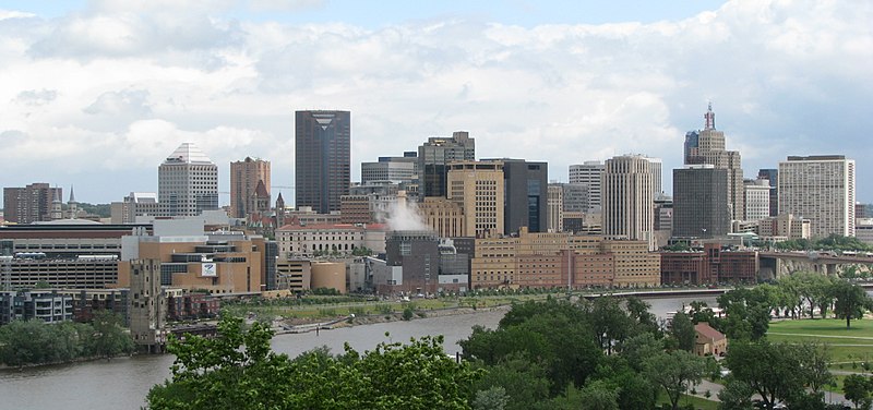
Downtown Saint Paul is an official neighborhood in Saint Paul, Minnesota, United States. Its boundaries are the Mississippi River to the south, University Avenue to the north, US 52 to the east, and Kellogg Avenue to the west. It is bounded by the Dayton's Bluff, Summit-University, West Seventh, Frogtown, West Side, and Payne-Phalen neighborhoods. The West Side neighborhood is on the other side of the river, and can be accessed via the Robert Street Bridge or the Wabasha Street Bridge. Interstate 35E and Interstate 94 run through the north side of the neighborhood, providing a separation between the Minnesota State Capitol and other state government buildings with the rest of downtown. ()
Downtown St. PaulSaint Paul
Downtown Saint Paul – popular in the area (distance from the attraction)
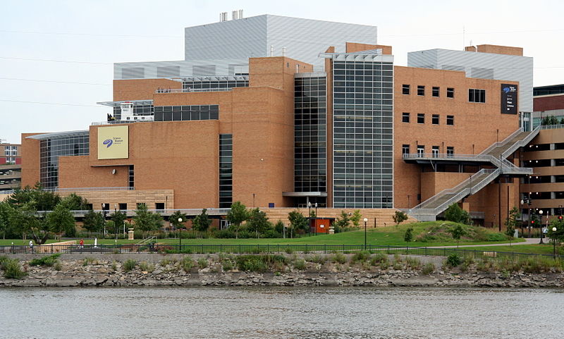
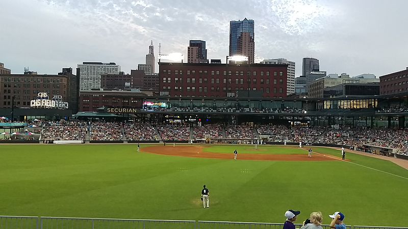
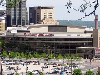
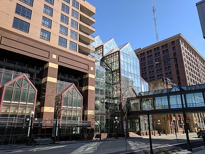
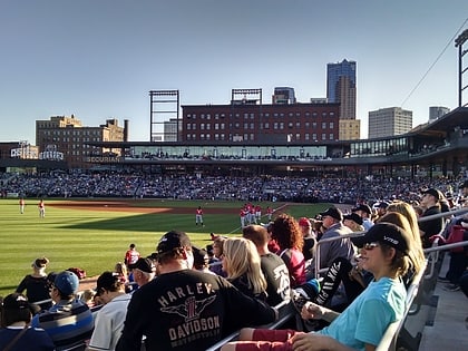
Nearby attractions include: Xcel Energy Center, Cray Plaza, Science Museum of Minnesota, CHS Field.
Frequently Asked Questions (FAQ)
Which popular attractions are close to Downtown Saint Paul?
How to get to Downtown Saint Paul by public transport?
Bus
- 5th Street & Minnesota Street • Lines: 351, 351H, 353, 363, 63, 94D, 94F (1 min walk)
- 6th Street & Minnesota Street • Lines: 351, 351H, 353, 363 (2 min walk)
Light rail
- Central Station • Lines: 902 (2 min walk)
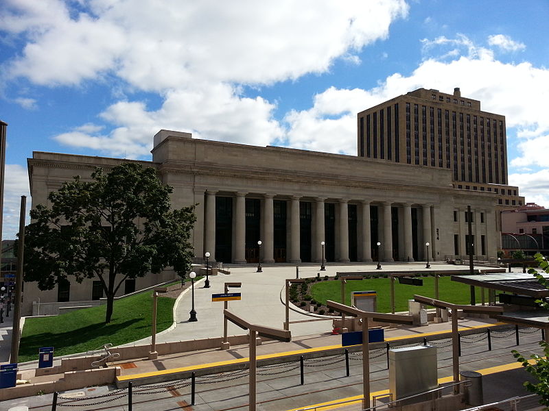
- Union Depot • Lines: 902 (7 min walk)
Train
- Saint Paul Union Depot (9 min walk)


