Hampden South, Denver

Map
Facts and practical information
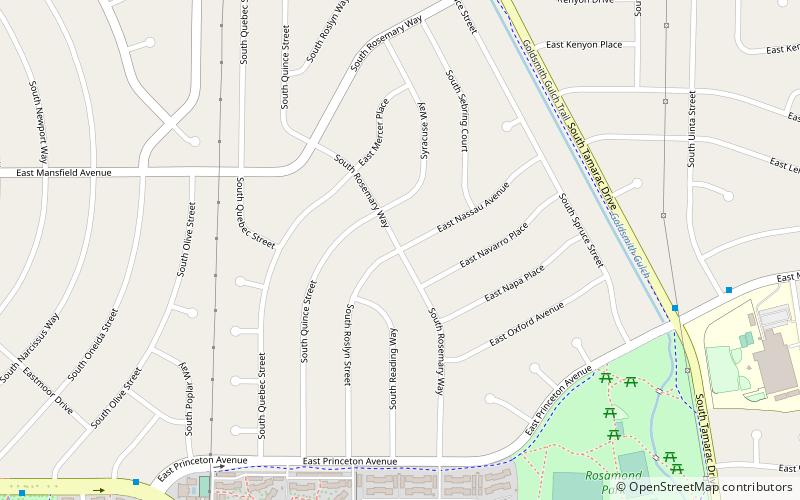
Hampden South is a neighborhood in Denver, Colorado, United States. ()
Coordinates: 39°38'41"N, 104°53'60"W
Address
Southeast Denver (Hampden South)Denver
ContactAdd
Social media
Add
Day trips
Hampden South – popular in the area (distance from the attraction)
Nearby attractions include: Cherry Hills Country Club, Fiddler's Green Amphitheatre, Chamberlin Observatory, Evans Memorial Chapel.
Frequently Asked Questions (FAQ)
How to get to Hampden South by public transport?
The nearest stations to Hampden South:
Light rail
Light rail
- Southmoor • Lines: E, F, H (24 min walk)
- Dayton • Lines: H, R (30 min walk)


