Stoney Road, Paterson
Map
Facts and practical information
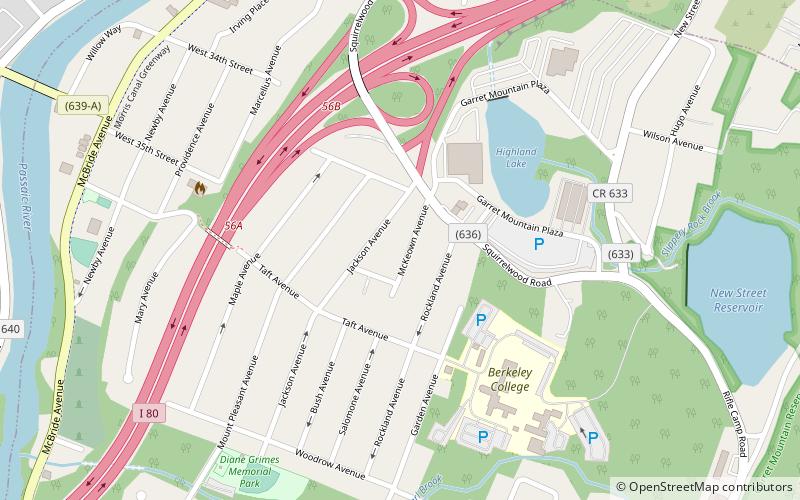
Stoney Road is Paterson, New Jersey, USA's most south-west neighborhood and is bordered by Woodland Park to the south and Totowa across the Passaic River to the west. It is bordered on the east by Mountain Avenue and to the north by Rockland Street. And also stoney road is bordered to the south at Glover Avenue This neighborhood is home to Pennington Park, Hayden Heights, Lou Costello Pool, western Grand Street, McBride Avenue and Garrett Heights. The Stoney Road section of Paterson is located in the city's 2nd Ward. A strong Italian presence remains in this neighborhood. ()
Coordinates: 40°54'5"N, 74°11'33"W
Address
Woodland ParkPaterson
ContactAdd
Social media
Add
Day trips


Frequently Asked Questions (FAQ)
Which popular attractions are close to Stoney Road?
Nearby attractions include Hillery Street Bridge, Paterson (12 min walk), Holy Sepulchre Cemetery, Paterson (17 min walk), Westside Park, Paterson (22 min walk).