Rifle Camp Park, Clifton
Map

Map

Facts and practical information
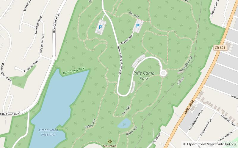
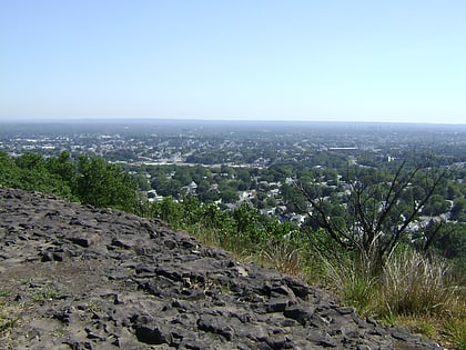
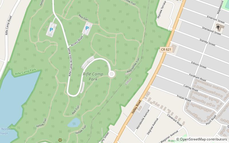
Rifle Camp Park is a 225-acre county park of Passaic County, New Jersey. It is located mostly within Woodland Park, but its eastern edge extends into Clifton as well. The park includes hiking trails, an observatory, nature center, fitness trail, amphitheater, a bird watching blind, and an overnight camping facility for local scout organizations. ()
Created: 1928Elevation: 479 ft a.s.l.Coordinates: 40°53'3"N, 74°11'8"W
Day trips
Rifle Camp Park – popular in the area (distance from the attraction)
Nearby attractions include: Yogi Berra Stadium, Lambert Castle, Highlands Preserve, Garret Mountain Reservation.
Frequently Asked Questions (FAQ)
How to get to Rifle Camp Park by public transport?
The nearest stations to Rifle Camp Park:
Train
Train
- Montclair State University (31 min walk)


