Dominion Hills Historic District, Arlington
Map
Map

Facts and practical information
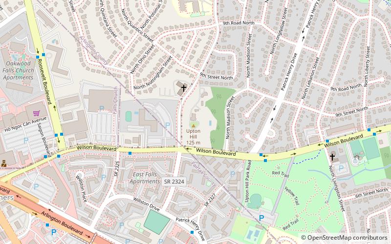
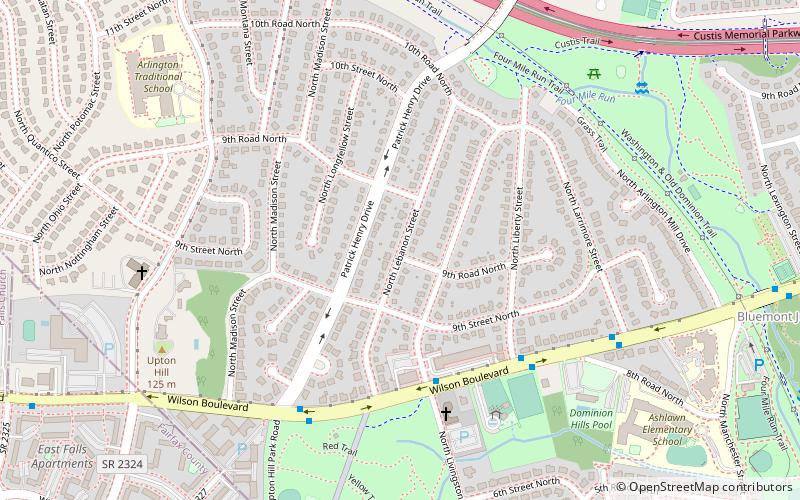
Dominion Hills Historic District is a national historic district located at Arlington County, Virginia. It contains 446 contributing buildings in a residential neighborhood in western Arlington. It was platted in 1942 and developed between 1945 and 1948. It was designed to attract working and middle-income residents and is composed exclusively of two-story Colonial Revival style dwellings. ()
Coordinates: 38°52'33"N, 77°8'29"W
Address
North Arlington (Dominion Hills)Arlington
ContactAdd
Social media
Add
Day trips
Dominion Hills Historic District – popular in the area (distance from the attraction)
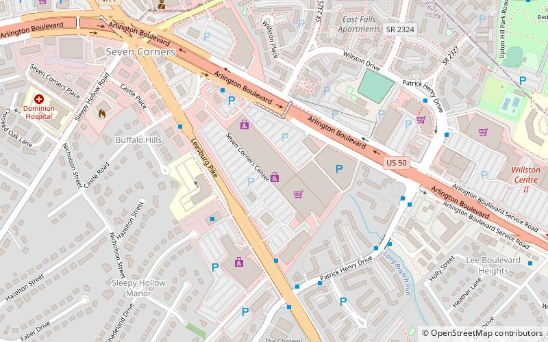
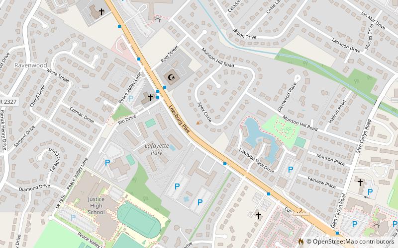
Nearby attractions include: Eden Center, Bluemont Junction Trail, Seven Corners Shopping Center, Munson's Hill.
Frequently Asked Questions (FAQ)
Which popular attractions are close to Dominion Hills Historic District?
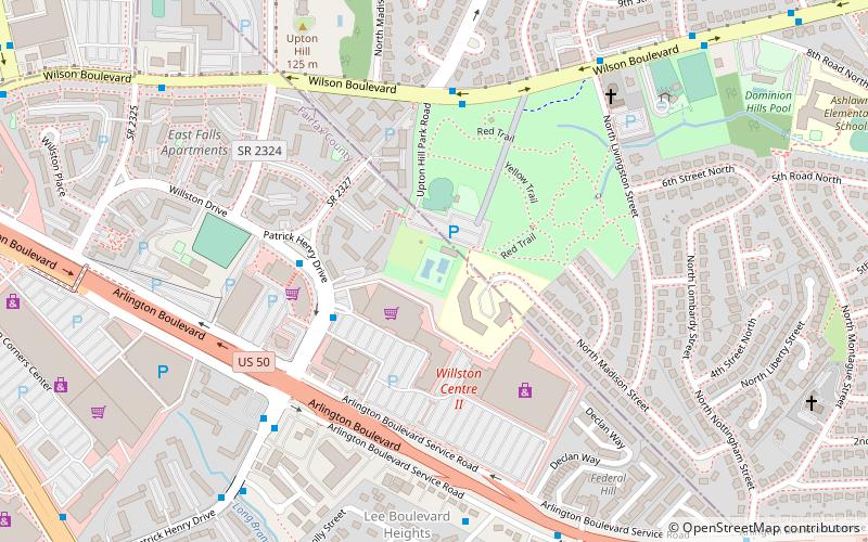
Nearby attractions include Upton's Hill, Arlington (8 min walk), Upton Hill Regional Park, Arlington (11 min walk), Westover Historic District, Arlington (15 min walk), Glebewood Village Historic District, Arlington (15 min walk).
How to get to Dominion Hills Historic District by public transport?
The nearest stations to Dominion Hills Historic District:
Bus
Metro
Bus
- Patrick Henry Dr & Arlington Blvd • Lines: 4A, 4B (16 min walk)
- 6001334 • Lines: 26A, 3A (17 min walk)
Metro
- East Falls Church • Lines: Or, Sv (28 min walk)


